Heat Wave Over Punjab, Haryana, Rajasthan, Delhi: Relief Likely Soon

Representational Image: AI-Skymet
Key Takeaways:
- Ganganagar in Rajasthan recorded the country’s highest temperature at 45.6°C.
- Heat wave conditions are persisting across Rajasthan, Haryana, Punjab, and adjoining regions.
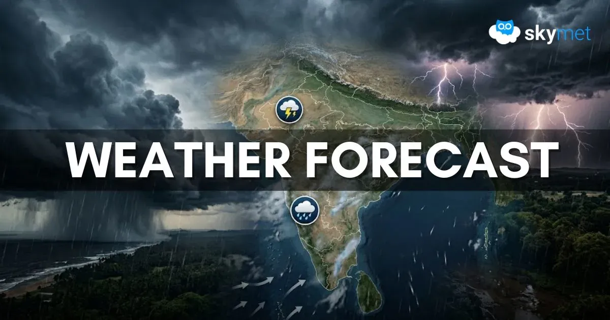
- Thunderstorm and dust storm activity is expected across North India between 11th and 13th June.
- Temperatures are likely to remain below 40°C after 14th June in many areas of North India.
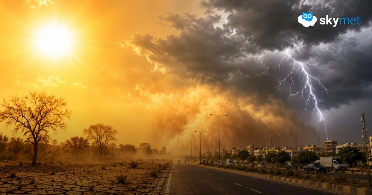
After the passage of the western disturbance, mostly clear weather conditions are prevailing over the plains and mountains of North India. The temperatures have risen past 40°C at many places. The highest temperature in the country, 45.6°C, was recorded at Ganganagar in Rajasthan. Hanumangarh, Anupgarh, and Suratgarh are equally hot. Rohtak, Bhiwani, and Phalodi also breached 45°C, the marker for heat wave conditions. These conditions are likely to continue for another two days, with marginal relief thereafter.
The temperature is in excess of 43°C over parts of East Uttar Pradesh, East Madhya Pradesh, Chhattisgarh, and the Vidarbha region. These are the hottest pockets of the central region, albeit falling short of typical heat wave conditions. The heat is getting transported over West Rajasthan from across the border, where the mercury crossed 49°C at Sibi and 48°C at Jacobabad. The border posts are sizzling under extreme heat, with the feels-like temperature far exceeding 50°C. “Loo” conditions have worsened the field conditions, and exposure to these has become dangerous.
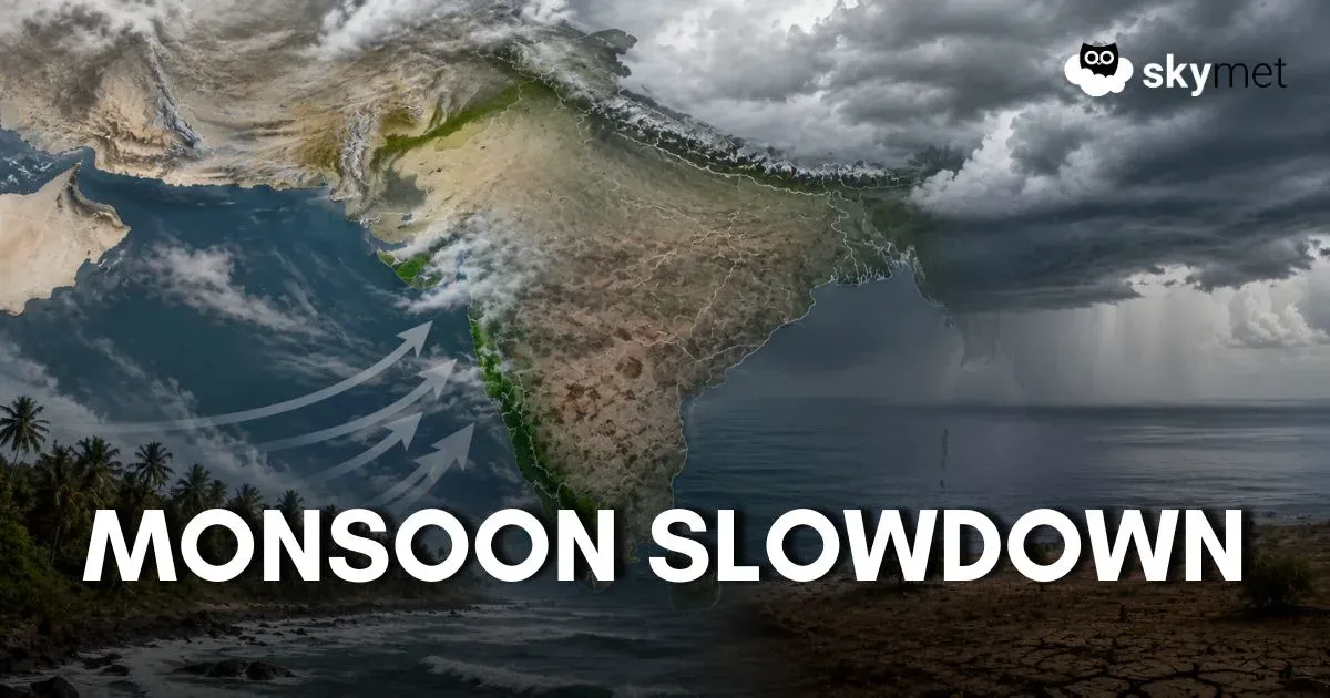
Locations in Haryana contiguous to Rajasthan and stations in Punjab away from the foothills are also under scorching heat, more so during the afternoon hours. Even the nights have become warmer than usual. Humid winds have been taking a toll by accentuating the heat stress. Monsoon advancement over parts of Maharashtra, Telangana, and Andhra Pradesh is barely getting translated into mitigation of heat. There are hardly any feelers of the quick arrival of monsoon relief.
A fresh western disturbance is arriving on 11th June over the hills. An induced circulation over the plains will become active. Under the combined influence, many parts of the plains of North India will witness thunderstorm/dust storm activity between 11th and 13th June. These will be accompanied by strong gusty winds, reducing visibility, flying loose objects, and uprooting some trees. Rain and thundershowers will follow thunder and lightning strikes. The temperature drop is likely between 11th and 14th June. Even thereafter, the mercury is unlikely to go beyond 40°C during the early days of the fourth week of June.
Trending: