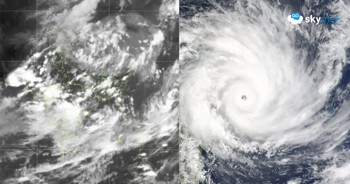
A fresh low-pressure area has formed over Northwest and West-Central Bay of Bengal, off the North Coast of Andhra Pradesh. It is likely to intensify into a depression very soon. Later, it is expected to move west-northwest and cross the South Odisha and North Andhra Pradesh coast tomorrow. Vigorous monsoon activity is likely over large parts of the country during this week. Localized flooding rains and inundation of low-lying areas are anticipated over many parts of Maharashtra and Gujarat during this week.
The remnant of the earlier low pressure over the Vidarbha region has merged with the monsoon trough. Yet, the cyclonic circulation still persists and will trigger heavy rainfall over Maharashtra. The monsoon westerly surge has also strengthened along the Konkan Coast, including Mumbai. Monsoon fury is ravaging the coastline, more intensely between Goa and Surat. Mumbai has been deluged and the rains seem to be unrelenting for another 3–4 days. All types of travel services like rail, road, and air will get impacted. Communication and connectivity will also be disrupted.
Land-locked subdivisions of Vidarbha and Marathwada are expected to be lashed with heavy rain and thundershowers today and tomorrow. Fierce monsoon fury will sweep the entire Madhya Maharashtra on the lee side of the Western Ghats. Pune, Nasik, Jalgaon, Ahmednagar, Dhule, Sangli, Satara, Sholapur, Kolhapur are likely to have the season’s heaviest rainfall between 19th and 21st August. The Konkan Coast, inclusive of Mumbai, has already been battered repeatedly for the last three days. Rain misery will be unrelenting for another three to four days. The entire Konkan region from Ratnagiri-Sindhudurg to Thane-Palghar-Dahanu will be battered with extremely heavy rainfall between 18th and 21st August 2025. The first signs of improvement are expected on 22nd August 2025.


