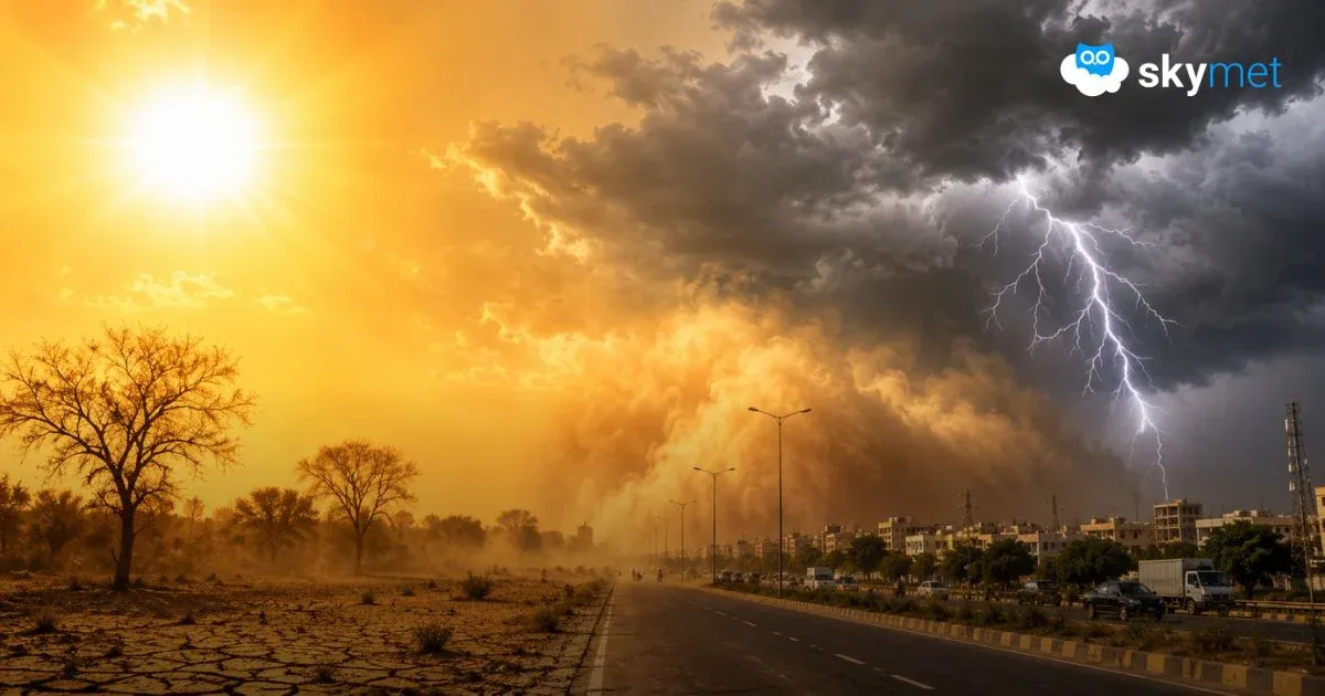
Where Have The Storms Gone: Indian Seas Remain Unusually Barren

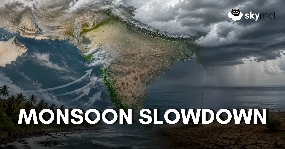
Image: AI-Skymet
Key Takeaways:
- Indian seas remain without any cyclonic storm activity during the pre-monsoon season.
- Southwest Monsoon reached Kerala on 04th June 2026 but remains sluggish over interior regions.
- Rainfall deficiency continues over Tamil Nadu, Telangana, and Coastal Andhra Pradesh.
- Strong pre-monsoon activity is likely over North India during the next two weeks.
The Indian Seas have not hosted a cyclonic storm for fairly long. The last cyclone was ‘Ditwah’, a minor storm during the post-monsoon season of 2025. The storm had a short life between 26th Nov and 03rd Dec 2025. This storm also never crossed the Indian coastline and meandered mostly across the island nation Sri Lanka. Yes, Sri Lanka was pounded with heavy to very heavy rains. A helicopter of the Sri Lanka Air Force had crashed while carrying out relief operations, killing the pilot. This storm had triggered heavy rains over South Coastal Tamil Nadu as well.
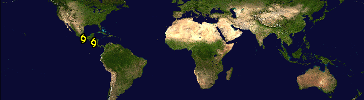
There is no storm anywhere over the Indian Ocean or the Pacific Ocean, and not even a small disturbance over the Indian Seas, both the Arabian Sea and the Bay of Bengal. The only storms are placed near the Cuban and Mexican region, where two weak cyclones are impacting the coastal areas and are likely to weaken there without much sea travel. The Indian seas were without a pre-monsoon storm this season, and it was a repeat of last year. The drought of sea disturbances continues till date.
The southwest monsoon reached mainland Kerala on 04th June 2026. Indian seas are favourite hosts for cyclonic storms in the month of June, before the monsoon stream races past the central and eastern parts of the country. Even the arrival of the monsoon is, at times, heralded by the formation of a low pressure area or depression over the Bay of Bengal. Truly speaking, the monsoon systems on either side of the coastline are the main triggers for carrying the monsoon flag deep inside the Indian landmass.
The southwest monsoon current has travelled more visibly parallel to the Western Coastline and remained rather weak over the interiors of the South Peninsula. Whatever weather activity has occurred over these parts so far is more synonymous with pre-monsoon bursts ahead of the main monsoon stream. During the first eight days of June, rainfall remained deficient over Tamil Nadu, South Interior Karnataka, Telangana, and Coastal Andhra Pradesh. Yes, the states of Kerala, Coastal Karnataka, North Interior Karnataka, and Goa have compensated for the shortfall. Overall, the South Peninsula is on the borderline of ‘normal’ during the onset phase of the monsoon.
Unless an active monsoon low pressure area or depression forms over the Bay of Bengal, the progress of the monsoon over the interiors of the southern and central parts of the country will remain sluggish and slow. Prolonged abstinence of weather systems across the Indian seas may lead to a temporary stall in the monsoon. There are no signs yet of any strong system forming over the Bay of Bengal during the next ten days. The southwest monsoon has to move under its own energy. It may meekly cover some more parts of Maharashtra, Telangana, Andhra Pradesh, Chhattisgarh, Odisha, and West Bengal during the next 4-5 days. However, pre-monsoon activity is likely to become strong over the northern parts, both plains and mountains, during the next two weeks.
Trending: