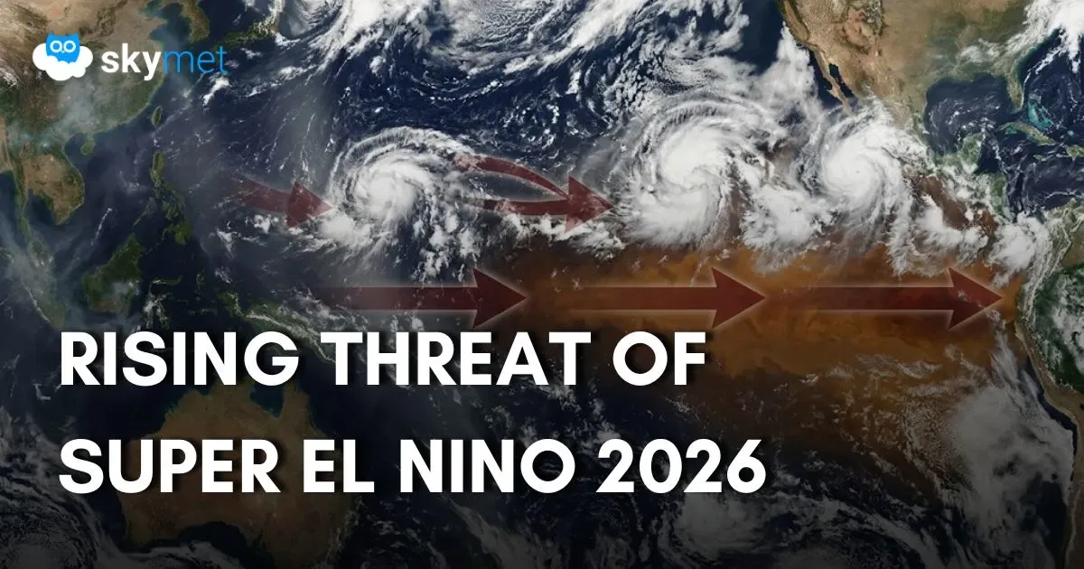
El Nino Conditions Strengthen Further: On Way To Become Super Event

Representational Image: AI-Skymet
Key Takeaways:
- El Niño conditions have intensified sharply, with Niño 3.4 anomalies projected to exceed 3°C by December 2026.
- June 2026 recorded a large rainfall deficit across all four homogeneous regions of India.
- Positive IOD conditions may emerge only from late July, offering delayed support to the monsoon.
- A potential Super El Niño could trigger widespread global weather and climate disruptions through 2026 and 2027.
- Forecast Valdity: Until Next Update.
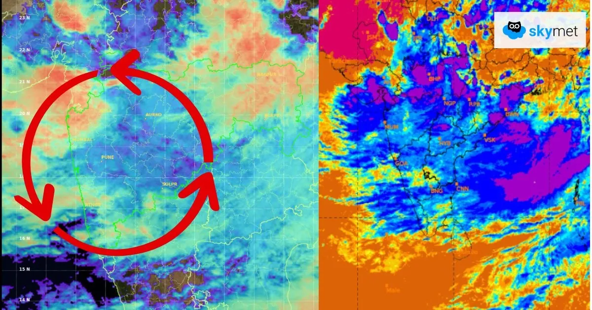
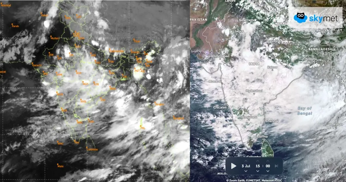
It is becoming increasingly likely that this year will bring a powerful El Nino in the equatorial Pacific Ocean. El Nino, as such, is often linked with a weaker Indian monsoon, but this year is loaded with a lot of unpredictability as to how strongly it is going to impact the monsoon rainfall. However, the bad news is now almost official. The season has made a disastrous start, with June witnessing a large rainfall deficit across all the four homogeneous regions of the country. Still, El Nino is hard to pin down.
The stretch of water that scientists watch most closely has already warmed past the line that defines significant El Nino conditions. The highest temperature anomaly during the very strong El Nino year was 2.5 degrees in 1982-83. There were joint record holders in 1997-98 and 2015-16, when the anomaly reached 2.4 degrees. As per the European Centre for Medium-Range Weather Forecasts, the Nino 3.4 region is likely to reach or exceed a temperature anomaly of 3 degrees above normal by December 2026, with some forecasts breaching the 4-degree mark. The location of El Nino’s warming is also critical to the strength of the monsoon – if it is further east in the Pacific, it could have less of an effect on India’s monsoon. But right now, it looks like becoming a basin-wide event. The temperatures are sharply rising across the complete Nino region, which means the warming will probably affect monsoon systems in India, Indonesia, Malaysia, Myanmar and West Africa.

ENSO : Since mid-April 2026, above-average equatorial sea surface temperatures have increased across the central to eastern Pacific Ocean. Even during this period, the sharpest rise was in June 2026. The June outlook strongly favours the persistence of El Nino conditions throughout the forecast period. El Nino probabilities are assigned at 100% from June-July-August through Sep-Oct-Nov. For Oct-Nov-Dec to Dec-Jan-Feb, the probabilities remain exceptionally high at 99%, followed by 98% and 97% for Jan-Feb-Mar and Feb-Mar-Apr 2027 respectively, with the remaining probabilities assigned to ENSO-neutral conditions. No probability is assigned to La Nina development during this period.
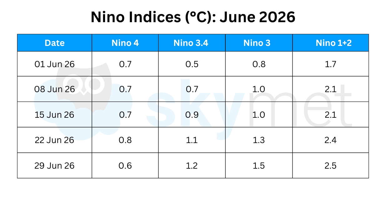
El Nino conditions have developed rapidly over the past one month, as shown by the above-average SSTs across the central to eastern Pacific Ocean. The latest weekly Nino 3.4 index value was 1.2 degrees, with the westernmost (Nino 4) and the easternmost (Nino 1+2) indices at 0.6 degrees and 2.5 degrees respectively. The Nino 1+2 index has reached the mark of 2.5 degrees for the first time since Oct 2023.
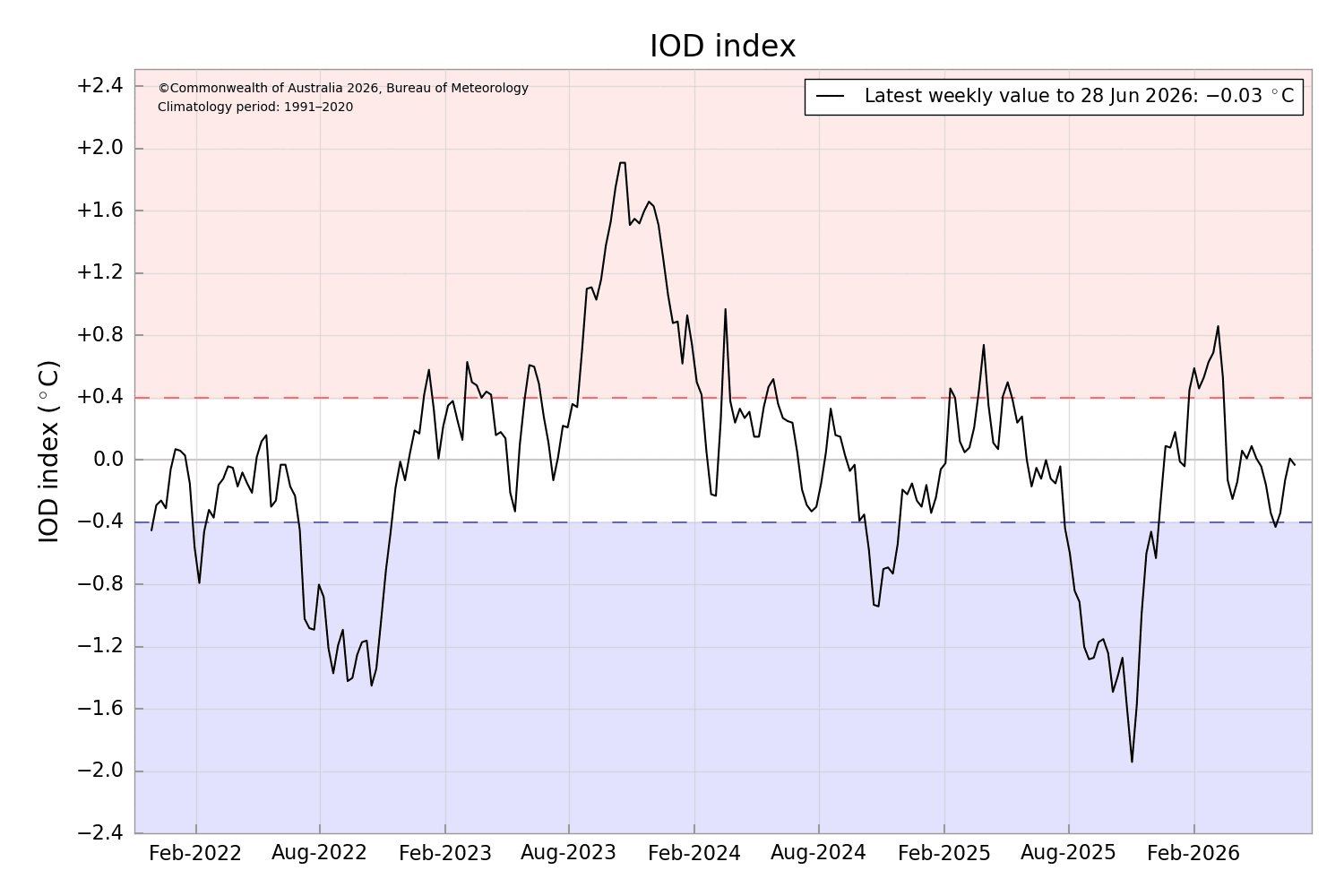
IOD : The Indian Ocean Dipole has remained in a neutral state since Jan 2026, briefly turning negative in May 2026. The latest value of the index for the week ending 28 June 2026 was -0.03 degrees. The IOD is not promising anything big during the first half of the monsoon. The multi-model ensemble indicates a shift towards positive IOD conditions from the fag end of July and then continuing to strengthen and become highly dominant for the remainder of the forecast period. A strong positive IOD is needed, with a temperature anomaly in excess of 1.5 degrees, to counteract the ill effects of a strong El Nino.
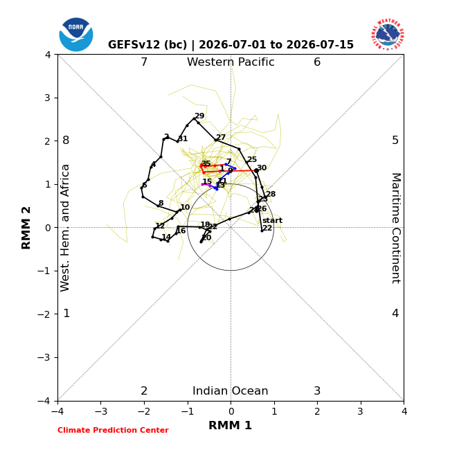
MJO : The Madden-Julian Oscillation will propagate eastward slowly from phases 5-6 to phases 6-8 across the Western Pacific. It is likely to meander over that area for almost two weeks, with a marginal increase in amplitude. This evolution should favour a continuation of enhanced tropical cyclone development chances across both the Western and Eastern North Pacific Basins. The pulse will remain inconsequential to accentuate the monsoon activity over the Indian Seas.
Super El Nino threat, unseen since 1950, is taking shape. It may become one of the powerful events triggering fears of major worldwide weather and climate disruptions, says the Australian Met Bureau. Even the devolving El Nino conditions, likely during the monsoon 2027, are not considered a safe period. It does carry the risk of starting the monsoon on a sluggish note.