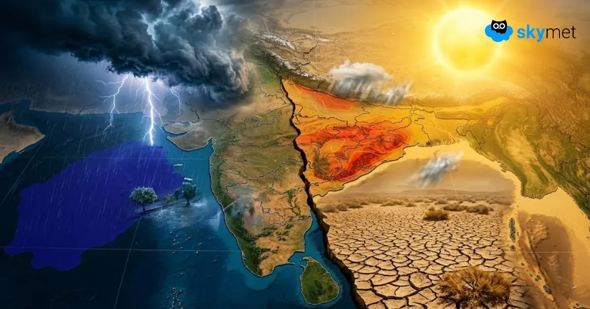
Weak Monsoon Takes Toll: Rain Deficit Climbs To Forty Per cent

Representational Image: AI-Skymet
Key Takeaways:
- Pan-India rainfall deficit has widened to 40% between June 1 and June 18, 2026.
- Central India (-63%) and East & Northeast India (-46%) remain the most rain-deficient regions.
- Northwest India has slipped into marginal deficit after weak rainfall activity in recent days.
- A weak monsoon system may develop around June 25, bringing some rainfall revival over southern and northeastern parts of India.
- Forecast Validity: Next 7 days.
The progress of Southwest Monsoon across the country has remained slow and sluggish so far this season. The Northern Limit of Monsoon (NLM) has remained nearly stationary for the last 7-10 days, extending from Harnai along the Konkan Coast to Muzaffarpur in Bihar. The delayed advancement has significantly impacted rainfall distribution across the country, pushing several regions into large rainfall deficits.
Even Northwest India, which had remained the only surplus rainfall region earlier this month, has now slipped into the deficit category. Between June 1 and June 18, 2026, the countrywide rainfall deficit has widened sharply to 40%.
Central India remains the most rain-deficient region with a shortfall of 63%, followed by East and Northeast India with a deficit of 46%. The rainfall situation has deteriorated steadily due to the prolonged weak phase of monsoon activity over most parts of the country.
Frequent pre-monsoon thunderstorm activity over Northwest India, triggered by successive Western Disturbances over the mountains and induced cyclonic circulations over the plains, had initially helped maintain surplus rainfall during the first fortnight of June. However, scanty rainfall over Punjab, Haryana, Delhi and West Rajasthan during the last few days has reduced the surplus significantly. Northwest India now stands at an overall rainfall deficit of 2%.
Among individual meteorological subdivisions, East Rajasthan continues to remain in surplus with 84% excess rainfall, while Rayalaseema has recorded 23% above-normal rainfall. Other subdivisions maintaining near-normal rainfall include West Uttar Pradesh (+6%), Sikkim and Sub-Himalayan West Bengal (-13%), and North Interior Karnataka (-3%).
Kerala, which is usually among the rainiest states during the monsoon season, is also witnessing weakening rainfall activity and currently stands close to entering the deficit category with a shortfall of 17%.
The primary reason behind the weak monsoon conditions has been the absence of major monsoon-driving systems. The seasonal trough along the West Coast has remained largely inactive, while no significant monsoon system has formed over the Bay of Bengal so far this season.
Weather models indicate the possibility of a weak low-pressure system or circulation developing around June 25 over the Bay of Bengal. Though the system is not expected to become very strong, it may still help revive rainfall activity over parts of Northeast India, the South Peninsula, Kerala, Coastal Karnataka and Goa.
However, rainfall activity over Northwest India is expected to reduce further during the upcoming week as monsoon progression continues to remain sluggish.
Trending: