Western Disturbance To Arrive Soon : Rain-Snow Likely

Key Takeaways:
- A fresh Western Disturbance may affect North India between February 16 and 18.
- Rain in lower hills and snowfall above 12,000 feet are likely in the Himalayan region.
- Plains including Delhi may see scattered rain on February 17 and isolated showers on February 18.
- Dry and gradually warmer conditions are expected after February 19.
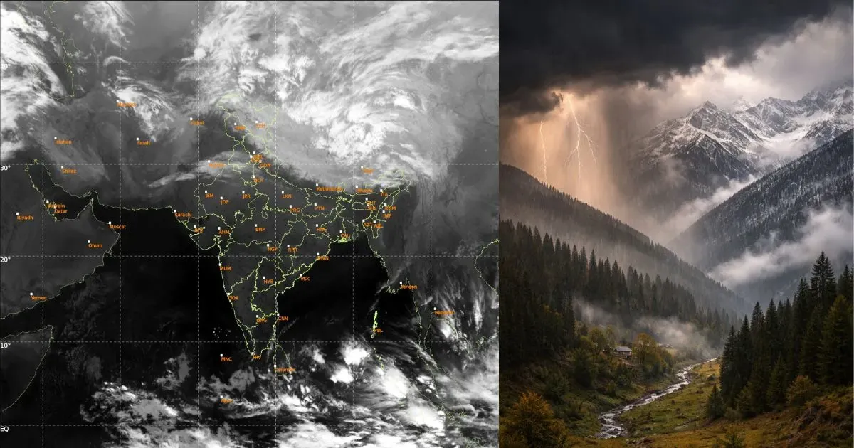
A Western Disturbance is currently moving across the northern mountains, with weather activity limited to the middle and higher reaches. Lower hills, foothills, and adjoining plains are witnessing associated cloudiness, resulting in partly cloudy skies. The system is expected to clear the region within the next 24 hours.
A fresh Western Disturbance is likely to approach on February 16, 2026, and move across the region between February 16 and 18. An induced cyclonic circulation will accompany the main system, and together they are expected to trigger weather activity over both the hills and the plains simultaneously.
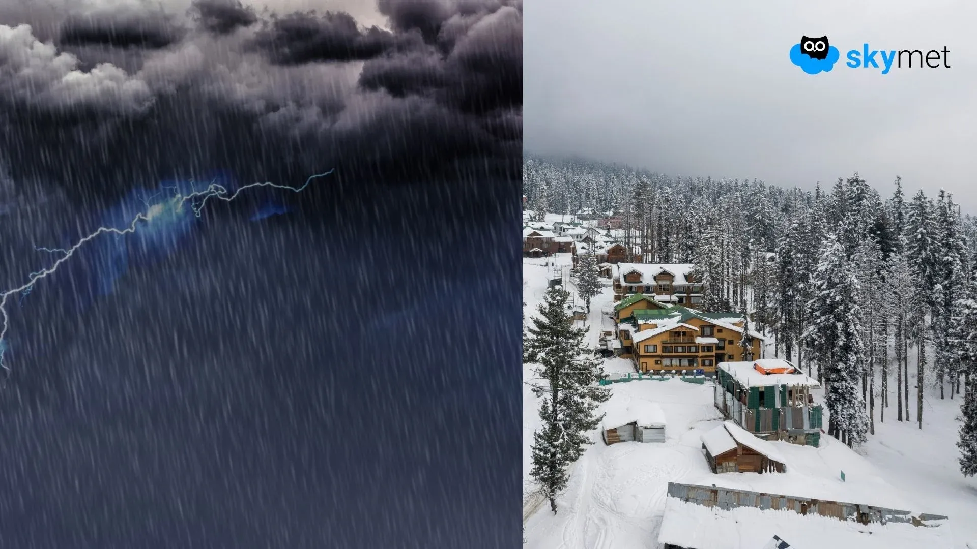
The Western Disturbance is primarily seen as an upper-air trough, though not very strong. The circulation over the plains will move across West Rajasthan, East Rajasthan, Southwest Uttar Pradesh, and Northwest Madhya Pradesh. The hilly states may receive rain in the lower parts and snowfall in elevated areas above 12,000 feet. Activity is expected to remain mild on February 16 and 18, while the spread and intensity may become moderate on February 17, 2026.
Weather activity over the plains will begin with a lag of about 24 hours. Southern parts of Punjab and Haryana, North Rajasthan, Southwest Uttar Pradesh, and Delhi are likely to witness scattered rain and thundershowers on February 17, 2026. The activity will shrink the following day and vacate most parts of Punjab and Haryana. Isolated rainfall may persist over Southwest Uttar Pradesh, Delhi, and Northwest Madhya Pradesh on February 18, though with reduced scale and intensity compared to the previous day.
Broad clearance is expected across the entire region from February 19 onward. This brief twist in weather conditions over the plains is typical of the seasonal transition from winter toward the pre-monsoon phase. Thereafter, the plains are likely to remain largely dry for the rest of the month, with temperatures gradually rising toward the next seasonal shift.