Rain-Thundershower Over Delhi, Today And Tomorrow: Dry -Hot Weather Mid-Week Onwards


Key Takeaways:
- Typical pre-monsoon activity likely over Delhi/NCR for the next two days.
- Thunderstorms, dust storms, lightning and gusty winds expected in multiple spells.
- Western disturbance and trough system are supporting weather activity across North India.
- Temperatures to remain around 36°C before gradually rising later this week.
Typical pre-monsoon weather activity is likely over Delhi/NCR over the next two days. Thunderstorm and gusty winds will lash some parts of Delhi in the forenoon hours itself today. Another spell will follow later. Similar weather activity is likely tomorrow and a break thereafter. Thunderstorm-dust storm activity will be accompanied by strong dust-raising winds, lightning and intermittent showers.
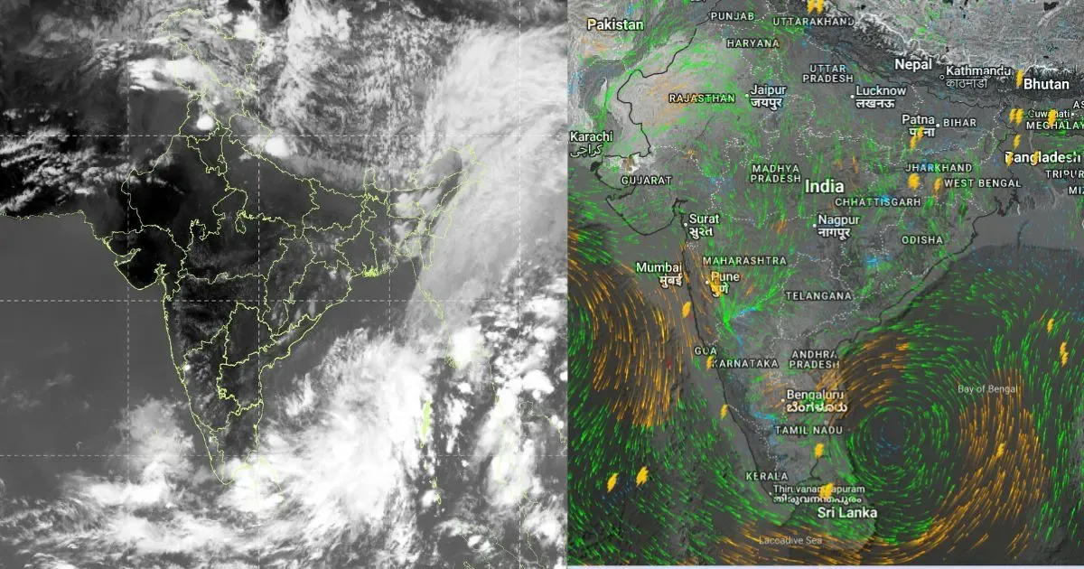
There is a western disturbance moving across the mountains. An induced cyclonic circulation is marked over Punjab and North Rajasthan region. An east-west trough is extending from the circulation, passing across Haryana, Delhi, Southwest Uttar Pradesh and further running along the Indo-Gangetic plains. There are small bubbles of circulations embedded in the trough stretching from border areas of Punjab to Bihar and North Bengal. Oscillation of the trough coupled with local heat will trigger thunderstorm-dust storm activity over Delhi and neighbourhood.
Earlier, Delhi witnessed hot and dry weather over the weekend. The day temperature rose to 37.9°C yesterday, the second-highest so far this month. It was still below normal by about 1.4°C. Today, tall clouds have already developed in close proximity to airport Palam. After this bout of activity, there will be a pause before another spell develops late in the evening and night. Tomorrow, the weather activity is likely to be more pronounced and better marked than today. The spillover effect may even continue into Wednesday morning hours.
The day temperature will rise to about 36°C (±1°C) today and maintain the same range tomorrow as well. Mercury levels are expected to increase from Wednesday onward. However, no sharp rise in temperature is expected. The maximum may reach close to the normal of around 39°C (±1°C) by next weekend.
Trending: