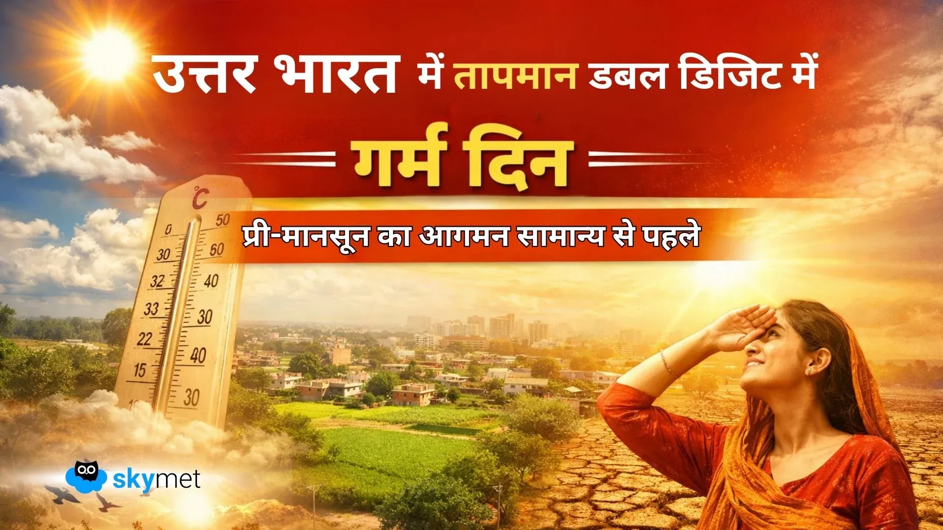
Single-Digit Temperature Era Gets Over For Northern Plains: Warm Days Ahead


Key Takeaways:
- Pre-monsoon transition over North India may occur earlier than normal.
- Rajasthan and parts of Haryana have already shifted to double-digit minimum temperatures.
- Punjab foothills remain the last pockets with single-digit minima.
- No active western disturbance expected in the coming week.
Northern plains are the last ones over the country to heat up during transition to the pre-monsoon season. Nip in the air lasts till the early days of March, and occasionally single-digit minimum temperatures extend to the middle of the month at a few places. However, the changeover to the warmer days and nights may be earlier than normal this time. The night temperatures have already slipped into the double digits at too many places.
The entire state of Rajasthan has already coursed to double-digit minima across the state. The western half of the state has risen to the mid and high teens. Most parts of Haryana, essentially the southern half of the state and areas contiguous to the Rajasthan border, have minimum temperatures in the low teens now. The state of Punjab continues to have small pockets with minimum temperatures close to double digits. Amritsar, Firozpur, and Bhatinda still have minimum temperatures between 9.5°–10.5°C. These are also likely to rise anytime soon.
The foothills of Punjab and Haryana are generally the last to graduate to the double digits. Locations like Pathankot, Hoshiyarpur, Ropar, Chandigarh, Panchkula, and Ambala figure in single-digit minimums till late March. Following passage of an active western disturbance, these cities and neighbourhoods repeatedly slip into low temperatures due to cold air in the wake of the systems.
This time, the transition to the warmer days of pre-monsoon is expected to be earlier than normal. No active western disturbance is likely for the next about one week. At the earliest, it could be around the festival of Holi (04th March), but exclusively affecting the mountains. Low-level winds are likely to become stronger and drier, indicating changeover to the pre-monsoon. Transition to the pre-monsoon looks to be on cards, alleviating the winter chill earlier than normal. Double-digit minimum temperatures will become a norm sooner than later over entire North India.