Active Monsoon Over Kerala: Heavy Rainfall Likely For One Week

Key Takeaways:
- Heavy monsoon rainfall is expected to continue over Kerala for at least the next one week.
- A cyclonic circulation over the Arabian Sea is intensifying monsoon winds along the Kerala coast.
- Rainfall activity is likely to peak between June 7 and June 11.
- Localised flooding and waterlogging may occur in vulnerable pockets due to continuous downpours.
Kerala witnessed the onset of the Southwest Monsoon on June 4, 2026. Ahead of the onset, as is normally observed, the state experienced moderate to heavy pre-monsoon showers. Heavy rainfall activity is likely to continue for at least the next one week and may even extend further. June and July are typically the rainiest monsoon months for Kerala, receiving nearly 650 mm rainfall each on average. Nearly 70% of the seasonal monsoon rainfall is recorded during the first half of the season.
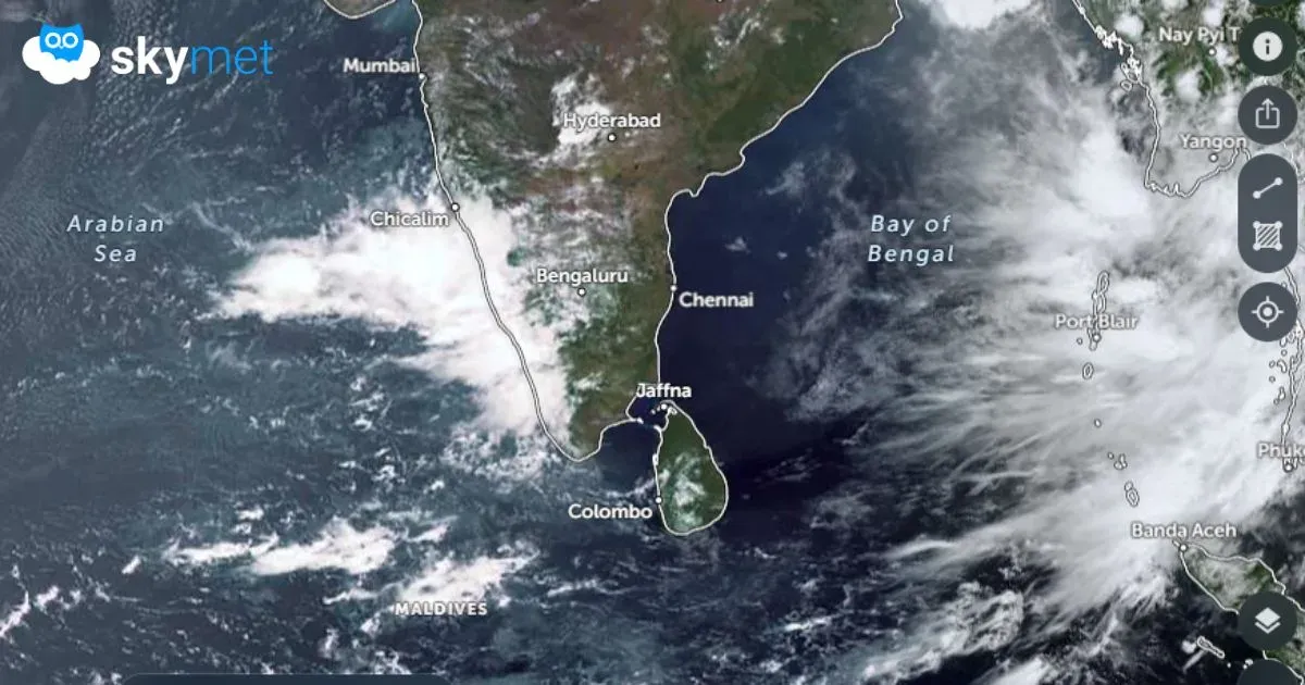
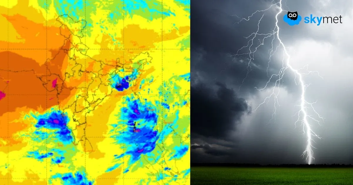
A cyclonic circulation persists over the east-central Arabian Sea, off the Goa and North Coastal Karnataka region, in the mid-levels between 10,000 and 15,000 feet. This feature is triggering strong convergence of the monsoon westerly winds along the Kerala–Karnataka–Goa belt. Widespread rain activity lashed Kerala during the past 24 hours, with heavy showers recorded over Cochin, Kozhikode, Kottayam and Kannur. The intense rainfall belt also extended to Honavar and Karwar along the Karnataka coast.
This circulation over the Arabian Sea is likely to persist for the next few days. Although it is not expected to intensify into a monsoon system or strengthen significantly in the lower levels, its presence will continue forcing strong westerly winds against the Western Ghats south of 15°N latitude. The entire Kerala coastline, from Thiruvananthapuram to Kozhikode, will remain vulnerable to heavy to very heavy rainfall.
The intensity and spread of rainfall activity are expected to increase further between June 7 and June 11, 2026. Frequent downpours over the next six to seven days are likely to saturate the landmass. Combined with the influence of the mountainous terrain, some pockets of the state may face flooding or localised deluge-like conditions. Residents and authorities are advised to remain cautious and prepared to deal with adverse and inclement weather conditions during the coming week.
Trending: