Consecutive Weeks Of Good Rains: Surplus Pre-Monsoon Rainfall Over Most Parts

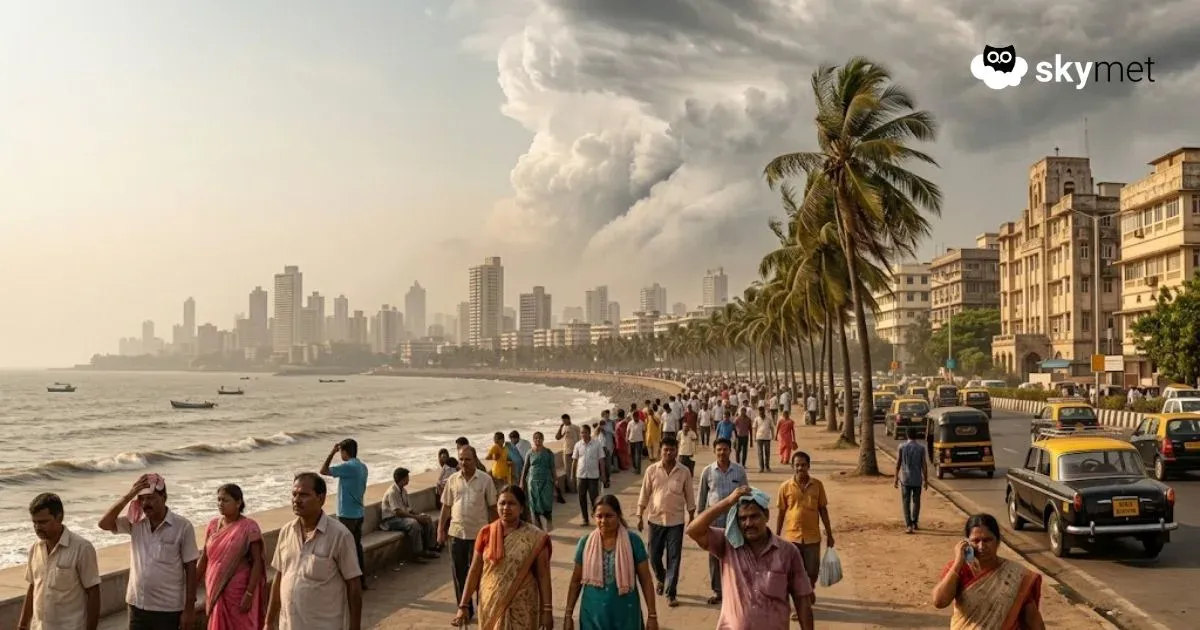
Representational Image: AI-Skymet
Key Takeaways:
- Early March deficit reversed; India now in 27% rainfall surplus
- Early April saw intense rainfall with 76% excess
- Northeast, East, and Northwest India record excess rainfall
- Heat to build in late April with reduced rainfall activity
Pre-monsoon seasonal rainfall is counted between 01st March and 31st May. This is followed by the four-month-long southwest monsoon season, starting with South India. Earlier, winter rainfall this season had witnessed a large deficit of about 60%. The shortfall extended to the first half of March as well. The first fortnight of the pre-monsoon season was a dampener. Except for Northeast India, all other pockets recorded a large deficit. Overall, the countrywide rainfall was below normal by 30% between 01st and 15th March 2026. However, the second half of March recovered the shortfall, and the month of March had a pan-India surplus of 13% rainfall.
Last two weeks have retained the continuity of a decent spread of rainfall over most parts of the country, and more so where it matters the most. For the week between 26th March–01st April, all the four homogeneous regions of the country recorded above-normal rainfall, with an overall surplus of 25% for the country. The subsequent week between 02nd–08th April was the rainiest and registered a huge excess of 76% rainfall. Between 01st March and 08th April 2026, the pan-India rainfall is in surplus by 27%.
All the states and subdivisions of Northeast & East India and Northwest India have recorded excess or large excess rainfall, except Arunachal Pradesh and Jammu & Kashmir, where it was normal. Central parts of the country have fared well, with an overall seasonal surplus of 57% during this period. However, the Konkan and Vidarbha regions of Maharashtra remained deficit by 80% and 45%, respectively. Mumbai and Goa have not received any pre-monsoon showers so far. The months of March and April, as such, are the least rainy for Konkan & Goa.
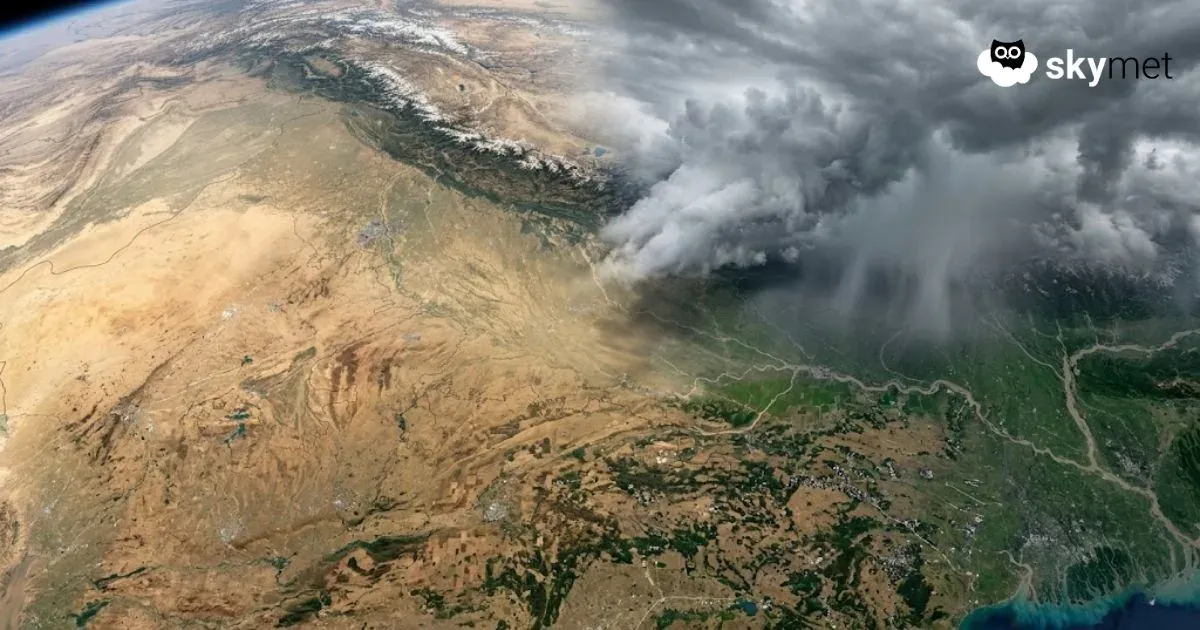
Rainfall activity is likely to reduce over the country during the second half of April. Northern mountains and Northeast India may continue to receive pre-monsoon activity during this period. Over the rest of the parts, particularly Central and Northwest India, there will be very little activity during the latter half of April. Heat is likely to build up. Increasing temperatures will trigger seasonal thunderstorms and dust storms over Northwest India.
Trending: Impact Of El Nino-Global Weather Pattern
Skymet Exclusive: Skymet Weather Forecasts Below Normal Monsoon For India in 2026