Skymet Weather Forecast April 10: Heavy Rain, Hailstorm Warning for North India; Snowfall in Hills

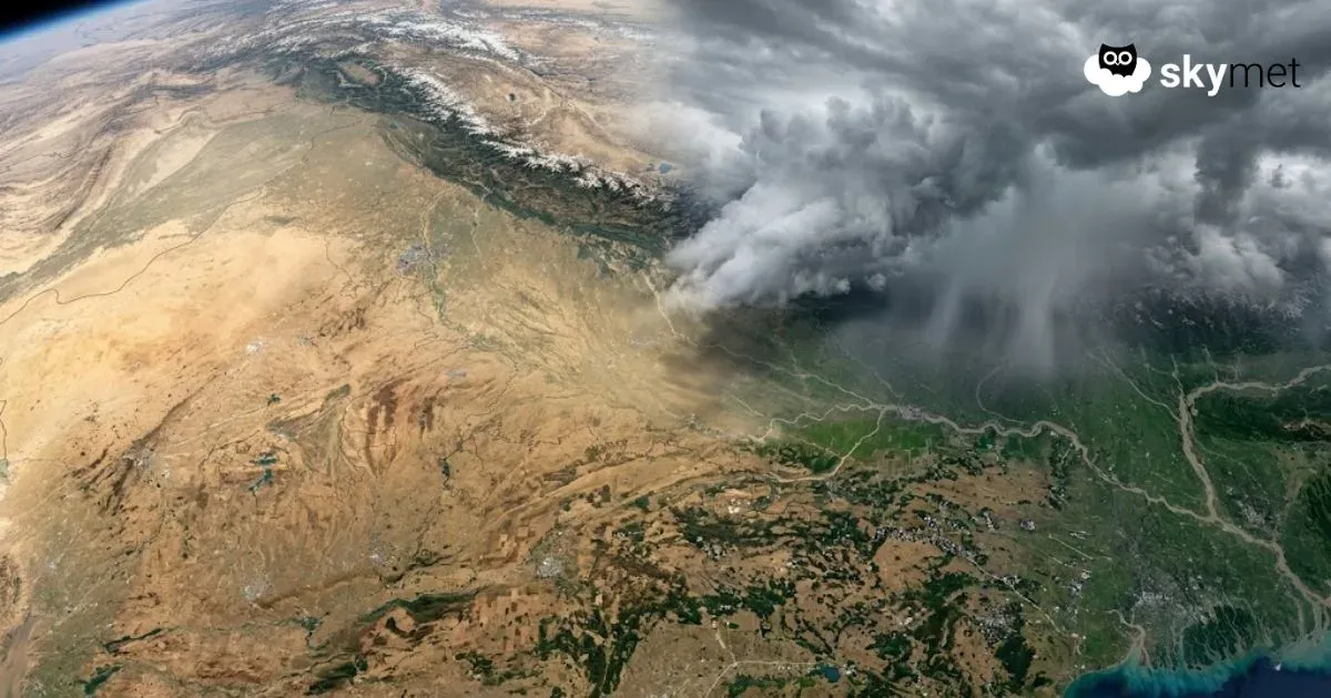
Representational Image: AI-Skymet
Key Takeaways:
- Multiple cyclonic circulations driving widespread weather activity
- Heavy rain likely over Northeast and eastern regions
- Western Himalayas to see scattered rain/snowfall
- Temperatures to rise gradually across Northwest, Central, and East India
Weather systems over the country
A Western Disturbance is seen as a cyclonic circulation over North Pakistan and adjoining Jammu & Kashmir between 3.1 and 7.6 km above mean sea level.
A cyclonic circulation is over Northwest Uttar Pradesh and adjoining areas, extending up to 3.1 km above mean sea level.
An east-west trough extends from Northwest Uttar Pradesh to Manipur across Bihar, Sub-Himalayan West Bengal, north Bangladesh, Meghalaya, and southeast Assam, extending up to 1.5 km above mean sea level.
A cyclonic circulation is over southwest Rajasthan and adjoining south Pakistan.
Another cyclonic circulation is over Central Assam.
A cyclonic circulation is over Odisha at lower levels.
Weather activity during the last 24 hours
During the last 24 hours, light to moderate rain with one or two heavy spells occurred over Uttarakhand.
Light to moderate rain with isolated snowfall occurred over the upper reaches of Uttarakhand and Himachal Pradesh.
Light to moderate rain and thunderstorms occurred over coastal Andhra Pradesh, Odisha, West Bengal, Northeast India, Bihar, Jharkhand, Uttar Pradesh, east Madhya Pradesh, and Jammu & Kashmir.
Isolated light rain occurred over south Kerala, Chhattisgarh, east Rajasthan, Delhi, north Punjab, south Haryana, and south Madhya Pradesh.
Weather activity during the next 24 hours:
During the next 24 hours, light to moderate rain and thunderstorms with isolated heavy spells may occur over Sikkim, Sub-Himalayan West Bengal, the north coast of Odisha, Arunachal Pradesh, and Assam.
Light to moderate rain is possible over Meghalaya, Nagaland, Manipur, Mizoram, Tripura, Gangetic West Bengal, and coastal Odisha.
Light scattered rain may occur over Kerala and the southern parts of Andaman & Nicobar Islands.
Isolated to scattered rain is possible over the Western Himalayas.
Maximum temperatures are likely to increase gradually over Northwest, Central, and East India during the next 3 to 4 days.
Skymet Exclusive: Skymet Weather Forecasts Below Normal Monsoon For India in 2026