Cyclonic Circulation Over Bay Of Bengal: Active Monsoon Over East-Northeast India

Key Takeaways:
- Monsoon activity will remain active to vigorous over East and Northeast India until July 22.
- Heavy to very heavy rainfall is expected over West Bengal, Sikkim, Bihar foothills and parts of Northeast India.
- Northern, central, western and southern India are likely to remain largely dry, increasing the all-India rainfall deficit beyond 19%.
- A possible low-pressure area after July 22 could revive monsoon activity over central and northern India.
- Forecast Validity: Next 7 to 8 days.
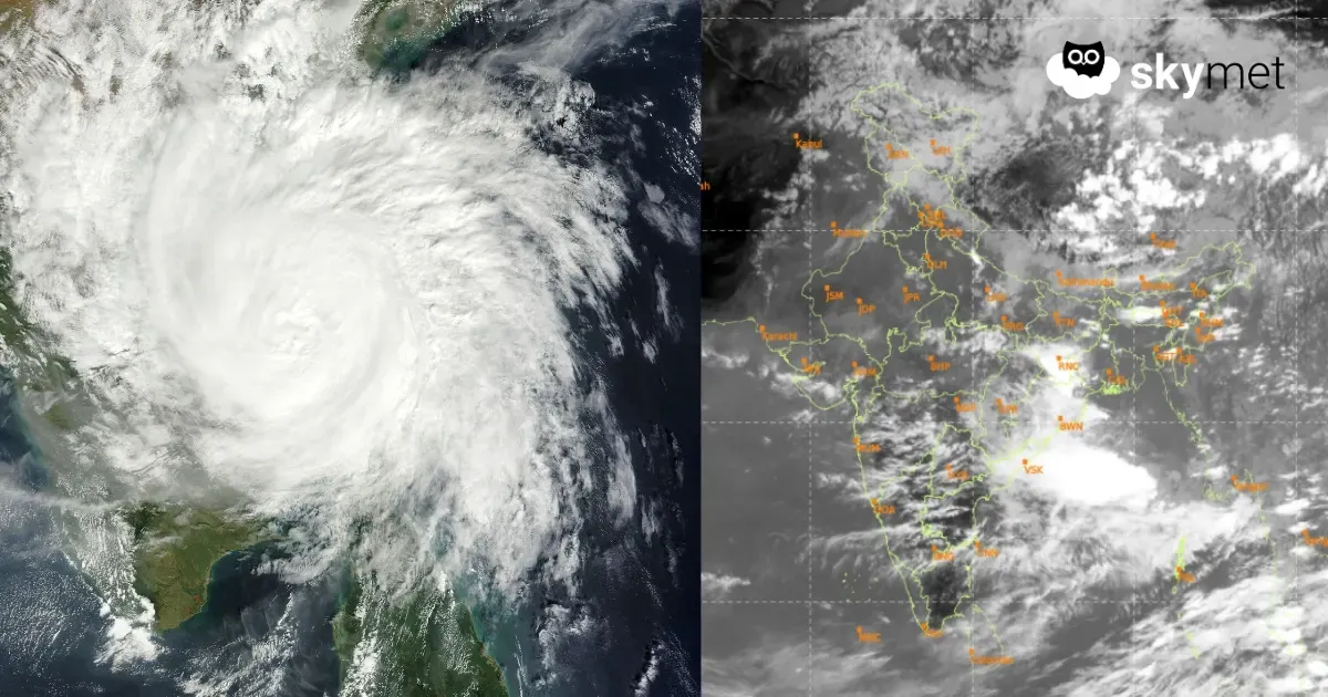
The first ten days of July witnessed active to vigorous monsoon conditions over many parts of the country. Pockets of Maharashtra and Gujarat were deluged. The massive 40% rainfall deficit of June was reduced to just 14%, bringing it back within the normal range. However, the rains have now retreated from northern, central, western and southern parts of the country. Pan-India rainfall figures have dropped sharply, and the overall rainfall deficit has climbed again to over 19%, which is no longer within the normal range.
Despite a good spell of heavy rainfall, the eastern and northeastern parts of the country remained deficient by over 40%. Bihar, Jharkhand, Assam & Meghalaya, and Arunachal Pradesh recorded a rainfall shortfall of 40% to 50% between June 1 and July 13, 2026. Gangetic West Bengal and Sub-Himalayan West Bengal were the only exceptions, recording normal rainfall during this period. While most parts of the country are likely to remain deprived of monsoon rains, a good spread and intensity of rainfall is expected over the eastern and northeastern regions.
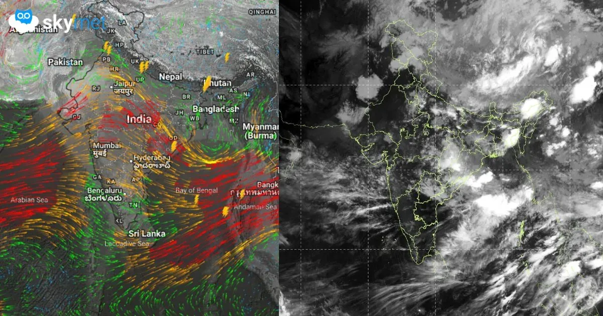
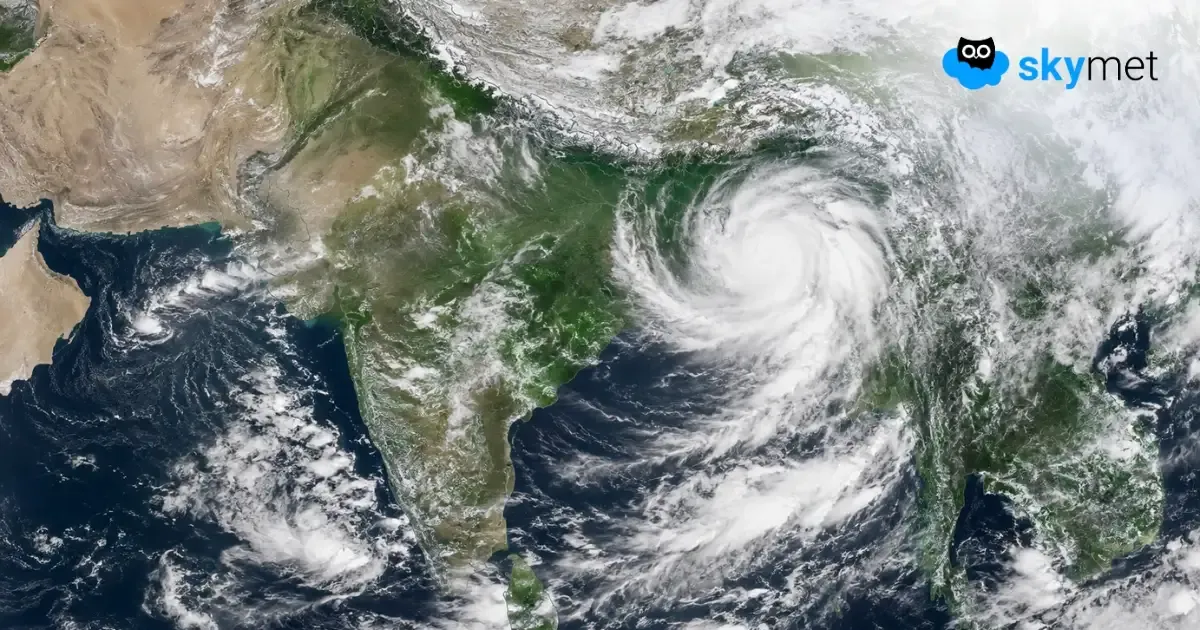
A cyclonic circulation has formed over the North Bay of Bengal and adjoining coastal parts of Bangladesh and Gangetic West Bengal. Kolkata received heavy rainfall yesterday. However, this circulation appears to be an errant feature and may behave unpredictably. As per the initial indications, it is likely to meander over the same region with only minor shifts. It is unlikely to intensify into a low-pressure area over the next five to six days, defying the normal evolution of monsoon systems. Even if it develops into a weak low-pressure area, it is not expected to move deep inland to expand the area of rainfall activity.
Under the influence of this circulation and a north-south trough extending roughly between 88°E and 90°E from Sikkim to the Head Bay, fairly widespread rainfall is expected across the eastern states and Northeast India. The affected subdivisions will include Bihar, Jharkhand, West Bengal, Sikkim and all seven northeastern states. The rainfall activity will also extend into parts of North Odisha and East Uttar Pradesh.
This prolonged spell is expected to continue between July 14 and July 22, 2026. Heavy to very heavy rainfall is likely at a few places, particularly over West Bengal, Sikkim and the foothills of Bihar during this period. Active to vigorous monsoon conditions are expected to prevail across the entire eastern and northeastern region.
The rainfall activity is unlikely to subside even after July 22. Although it is too early to draw firm conclusions, there is a possibility that the circulation may become better organised over the same region and eventually develop into a low-pressure area. Such a system may then move inland along the monsoon trough across the Indo-Gangetic Plains. Its subsequent movement could revive monsoon activity over the central and northern parts of the country. This development will need close monitoring over the next three to four days, and the forecast may be revised accordingly if required. Rainfall deficits across eastern and northeastern India are expected to narrow over the next week.
Trending: