Extreme rainfall risk over Nepal, Sidharth Nagar around 400 mm: Skymet Forecast

Representational Image: AI-Skymet
Key Takeaways:
- Skymet's latest model guidance indicates around 400 mm of rainfall in 24 hours over Siddharthanagar between July 11 and 14.
- The extreme rainfall signal is being driven by an active monsoon trough, a Bay of Bengal low-pressure system, and Himalayan orographic uplift.
- Heavy rainfall over Nepal's Terai could rapidly impact adjoining districts of Uttar Pradesh through transboundary river systems.
- Forecast confidence is high for an extreme rainfall episode, although the exact location, timing, and intensity may still change.
- Forecast Validity: Till July 14
There are forecasts, and then there are forecasts that make a meteorologist pause before typing. The latest numerical weather guidance being monitored by Skymet belongs firmly to the second category.
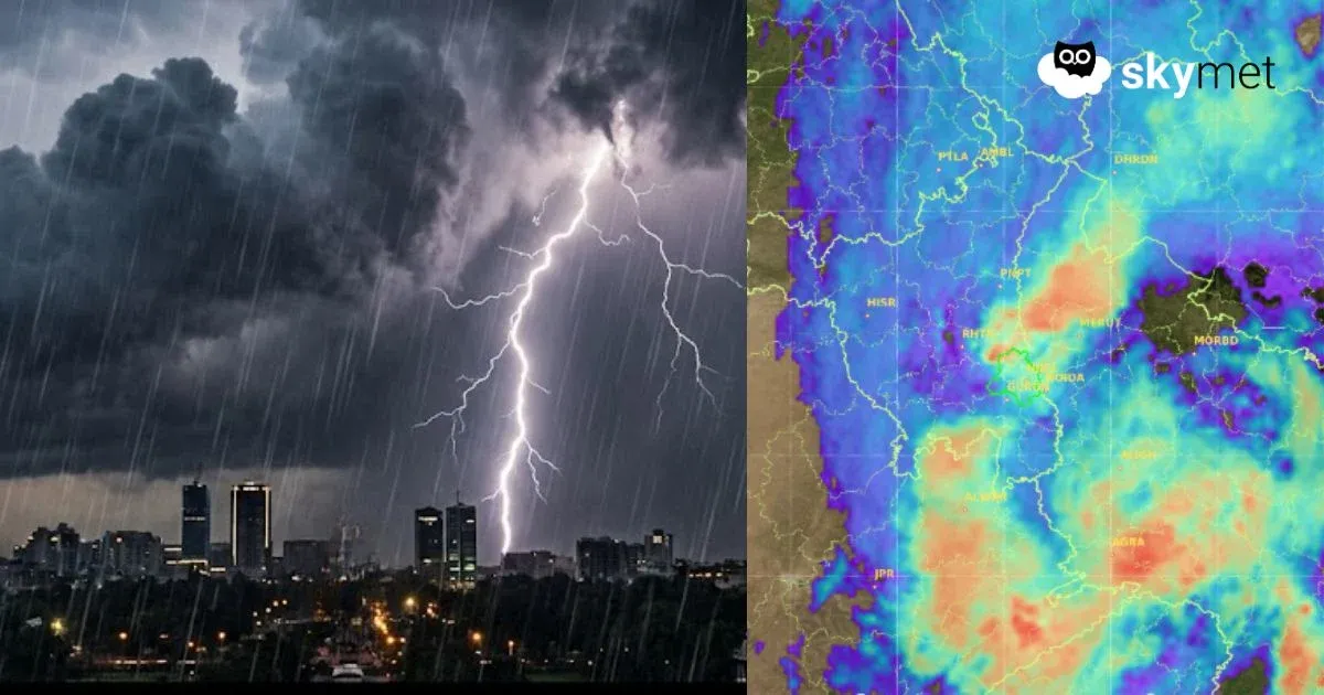
Model guidance for the July 11–14 period indicates the likelihood of an exceptionally intense rainfall episode centred over Siddharthanagar (Bhairahawa), headquarters of Nepal's Rupandehi District in Lumbini Province, just across the border from Sonauli in Uttar Pradesh. Current guidance suggests around 400 mm of rainfall in 24 hours, with some model solutions indicating locally higher totals.
If verified, such rainfall would rank among the most extreme 24-hour rainfall events observed in Nepal's Terai in the modern observational record.
Why Siddharthanagar?
Rupandehi lies within Nepal's low-lying Terai, immediately south of the Himalayan foothills. During an active monsoon, moisture-laden southwesterly winds are forced to rise abruptly against the Churia and Mahabharat ranges, often producing exceptionally intense rainfall over a narrow corridor along the foothills.
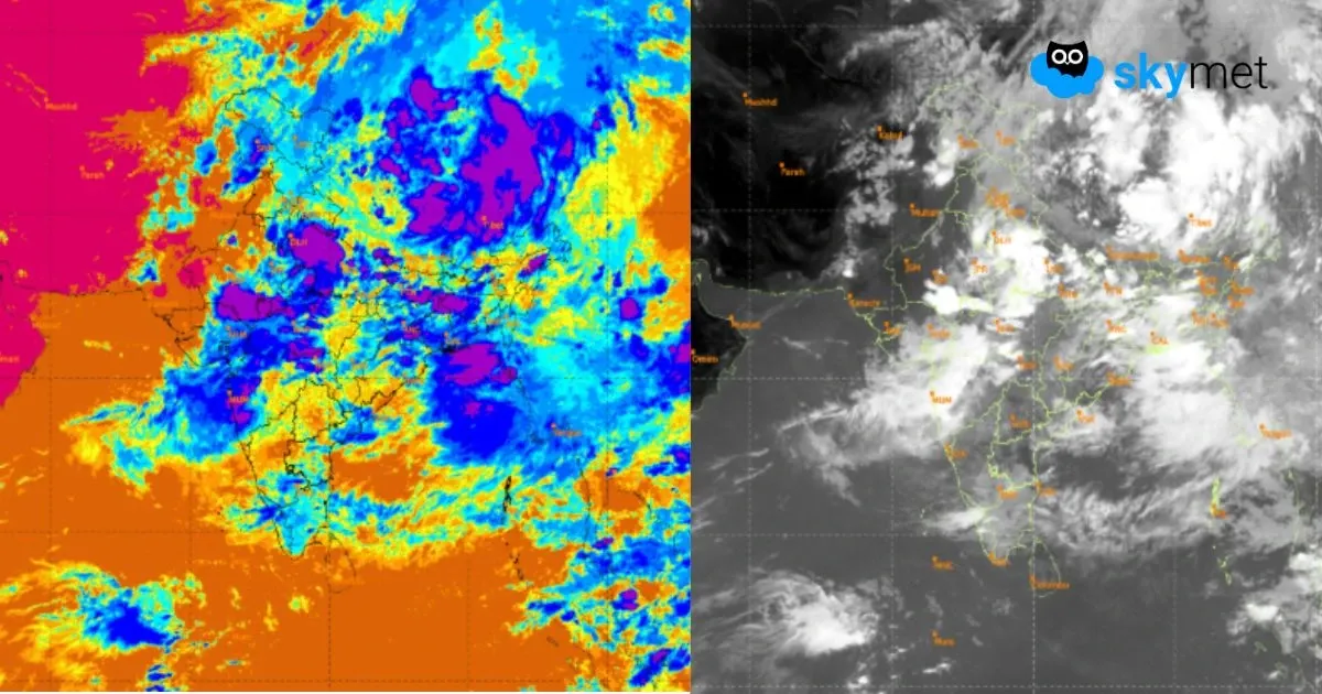
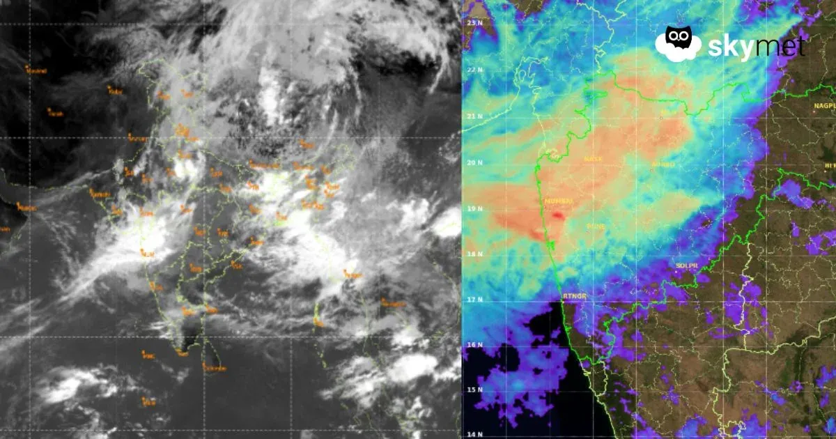
Current model guidance suggests that a fresh surge of monsoon moisture associated with a low-pressure system over the Bay of Bengal and an active monsoon trough may focus this rainfall over the Siddharthanagar–Rupandehi region between July 11 and 14.
Extreme Rainfall Fits Within a Normal Monsoon
The Southwest Monsoon does not deliver rainfall uniformly. Much of the season's heaviest rainfall occurs during short-lived but powerful low-pressure systems embedded within the monsoon trough.
This explains why even a season expected to deliver near-normal or slightly below-normal rainfall—as projected in Skymet's 2026 seasonal outlook—can still produce isolated, record-threatening rainfall events.
Nearly 80 percent of Nepal's annual rainfall falls between June and September, much of it concentrated into a few intense episodes.
A Region Familiar With Rainfall Extremes
Nepal has witnessed several exceptional rainfall events during the past three decades.
July 1993: Tistung recorded 540 mm in 24 hours, triggering catastrophic flooding across central Nepal.
August 2017: Hetauda received 516.2 mm in a day during devastating Terai floods.
July 2024: Dodhara recorded 624 mm in 24 hours—the country's highest daily rainfall since 1946—causing severe flooding across western Nepal.
These events demonstrate that Nepal's most damaging monsoon disasters are often driven by a single, exceptionally intense rainfall pulse rather than seasonal rainfall totals.
Why This Matters
Siddharthanagar is one of Nepal's fastest-growing urban centres, home to Gautam Buddha International Airport and the main gateway to Lumbini. Rapid urbanisation has reduced natural drainage, increasing the risk of urban flooding during extreme rainfall.
The threat is also transboundary. Rivers originating in Nepal's Churia hills flow quickly into Uttar Pradesh, meaning exceptionally heavy rainfall over Rupandehi can rapidly affect neighbouring districts including Maharajganj and Siddharthnagar.
Forecast
Current model guidance indicates that the Siddharthnagar–Rupandehi corridor could receive around 400 mm of rainfall within a 24-hour period sometime between July 11 and 14.
Whether the final observed total reaches 400 mm or somewhat less, the signal for an exceptionally heavy rainfall event is unusually strong and deserves close monitoring by disaster-management agencies on both sides of the Nepal–India border.
Trending:
Disclaimer: This assessment is based on numerical weather prediction guidance analysed by Skymet's forecasting team. Forecasts of highly localised extreme rainfall remain subject to changes in timing, location and intensity. Residents and authorities should continue monitoring official updates from Nepal's Department of Hydrology and Meteorology and the India Meteorological Department as the event approaches.