Low Pressure Area Over West Bengal, Odisha, Jharkhand: Heavy Rains Over Eastern-Central Parts
Aug 24, 2026, 6:30 PM

Key Takeaways:
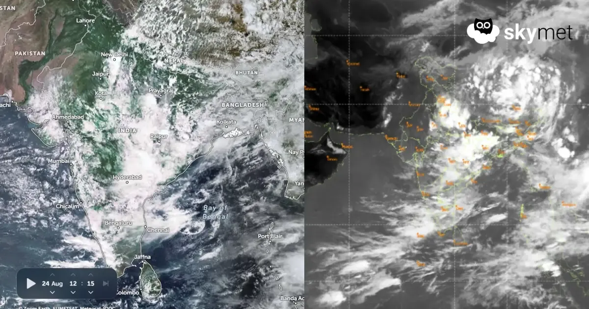
- The Northwest Bay low-pressure area has moved largely over land across parts of West Bengal, North Odisha and Jharkhand.
- Fairly widespread rain and thundershowers are expected over Odisha, Chhattisgarh and East Madhya Pradesh over the next two days.
- Intense weather will start vacating Rajasthan on August 26 and Madhya Pradesh by August 27 before shifting eastward.
- Kerala, Coastal Karnataka and Goa will continue to witness active monsoon conditions with isolated heavy showers this week.
- Forecast Validity: Next 2 to 3 days.
Advertisement
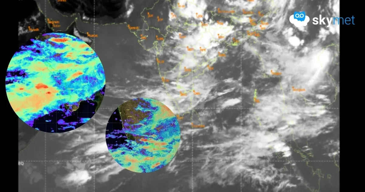
The low-pressure area over the Northwest Bay of Bengal has moved northwestward and now lies more over land than the sea. The low-pressure area is covering parts of West Bengal, North Odisha and Jharkhand. The cyclonic circulation is extending beyond 20,000 feet in height. The system will move further northwest and get placed over northern parts of Jharkhand and North Chhattisgarh. It may not travel further deep over land and may rather get retarded over Bihar, Jharkhand and West Bengal around mid-week.