Active Monsoon To Pause Over Northern, Western, Central, Southern Parts: Strong Activity Over Eastern Parts-Northeast India

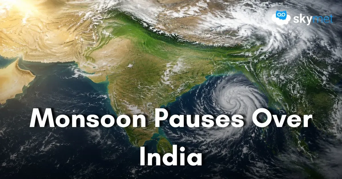
Representational Image: AI-Skymet
Key Takeaways:
- The season's first monsoon depression has weakened after significantly reducing India's overall rainfall deficit.
- Monsoon activity is expected to pause across northern, central and southern India during the coming week.
- Most regions in central and peninsular India are likely to witness dry weather or only isolated light showers.
- A fresh low-pressure area over the North Bay of Bengal could revive widespread rainfall across East and Northeast India next week.
- Forecast Validity: Next 3 to 5 days.
The maiden monsoon depression of this season over the Bay of Bengal has exhausted itself and weakened into an insignificant weather system. Earlier, the depression travelled across central and western India, triggering heavy monsoon rainfall over Odisha, Chhattisgarh, Madhya Pradesh, Maharashtra and Rajasthan. The plains of Punjab, Haryana, West Uttar Pradesh and Delhi also received moderate to heavy showers over the last three days. Courtesy of the intense rainfall and its widespread coverage, the June rainfall deficiency has been completely overcome over central India. The deficit has reduced substantially over southern and northwestern parts of the country. However, East and Northeast India remained rain-deficient throughout, and the recent monsoon activity made little impact over these regions. The all-India monsoon rainfall deficit, which stood at 40% in June, has narrowed to just 14% as of July 9 and may reduce further over the coming days.
The remnant of the depression, in the form of a low-pressure area, was last located over parts of Central Uttar Pradesh and the adjoining foothills. It is likely to dissipate over the same region. Consequently, the western end of the monsoon trough has shifted north of its normal position and is now running close to the Himalayan foothills. The eastern end of the trough has also shifted northward, though it is not exactly aligned with the foothills. A cyclonic circulation is likely to develop over the North Bay of Bengal around July 13. Subsequently, subject to the weakening of Typhoon Bavi over the Western Pacific, this circulation may consolidate into a fresh low-pressure area over the same region.
At present, there are no indications of the monsoon trough returning to its normal position. Additionally, the north-south trough along the West Coast, which had triggered heavy rainfall over the Konkan region, has weakened. The low-level anticyclonic circulation over the equatorial Western Arabian Sea is also unlikely to support any strengthening of the westerly winds along the west coast. Further, no active western disturbance is expected over the northern mountains during the next week.
Under these prevailing conditions, monsoon rainfall is expected to become sparse across the northern plains, including Punjab, Haryana, Delhi, West Uttar Pradesh and Rajasthan. Uncertainty regarding the evolution of the next Bay of Bengal system is also likely to keep large parts of central and southern India relatively dry. Most places across West Madhya Pradesh, Maharashtra, Gujarat, Goa, Telangana, Andhra Pradesh, Karnataka, Tamil Nadu and Kerala are expected to witness either dry weather or only light drizzle. However, isolated locations along the Western Ghats may continue to receive moderate showers. Overall, the active phase of the southwest monsoon is expected to pause over large parts of the country. Nevertheless, these conditions are unlikely to qualify as a 'break monsoon', as a fresh weather system is expected to develop over the North Bay of Bengal in the near future.
The possibility of a fresh monsoon system over the Bay of Bengal has raised hopes of widespread rainfall over East and Northeast India during the coming days. Large rainfall deficiencies continue over Bihar, Jharkhand, East Uttar Pradesh and the entire northeastern region. Preliminary assessments indicate the formation of a cyclonic circulation first, followed by a low-pressure area over the North Bay of Bengal. At this stage, there is no certainty regarding its track. However, it is likely to follow a path north of the recent systems rather than retracing the track of the previous depression. If this scenario materialises, widespread monsoon rainfall is expected over West Bengal, Jharkhand, Bihar, East Uttar Pradesh, Sikkim, Sub-Himalayan West Bengal and all the northeastern states. The peripheral rainfall is also expected to extend into North Chhattisgarh, North Odisha, East Madhya Pradesh and North Coastal Andhra Pradesh. Consequently, the prevailing rainfall deficiency over these regions is likely to reduce substantially.
Trending: