Very Heavy Rains To Continue Over Mumbai: Relief After Mid-Week


Representational Image: AI-Skymet
Key Takeaways:
- Mumbai continues to witness torrential monsoon rains causing severe disruption across the city.
- Railway traffic, flights and road transport have been impacted due to flooding and waterlogging.
- Santacruz observatory has already crossed Mumbai’s monthly normal rainfall within six days.
- Heavy to very heavy rain is likely till July 8, with gradual improvement expected from July 9 onward.
- forecast Validity: Next 2 to 3 days
Heavy rains continue to batter Mumbai for consecutive days. The torrential rains have wreaked havoc, causing widespread waterlogging in several areas and triggering flood-like situations. Pune-Mumbai traffic was temporarily shut. Western Railway traffic came to a halt on account of submerged tracks. Flight operations were severely affected after runway operations were suspended for a brief period. Schools and colleges have been shut for the day and office hours have been curtailed to avoid inconvenience. Overall, normal life has been thrown out of gear.
All is not yet over and done. Bad weather will continue for the next three days between 06th and 08th July, more cautiously today and tomorrow. Major relief will come after 08th July, but light to moderate rains will continue. A week-long break from the troubling rains is likely from mid-week to mid-week next.
There has been a deluge over most parts of the city, with almost non-stop downpour in the last six days between 01st and 06th July. Airport observatory Santacruz has already crossed the monthly normal rainfall mark of 919.9 mm within the first six days itself. The observatory registered spells of over 200 mm rainfall in 24 hours twice during this period. Colaba, the regional observatory, recorded 265.6 mm rainfall in 24 hours. This is the highest daily rainfall in the last five decades. The earlier record was 417.2 mm on 31st July 1975. The record observatory Santacruz may reach close to the 1500 mm mark by the end of this wet spell. The all-time record July rainfall stands at 1771.0 mm witnessed in 2023.
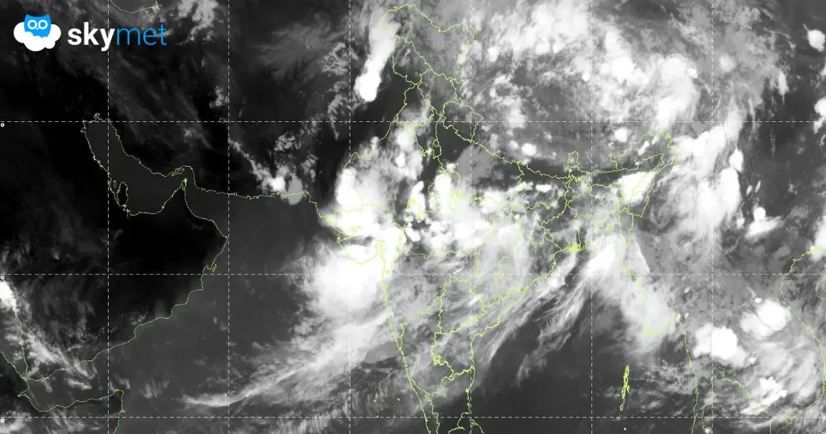
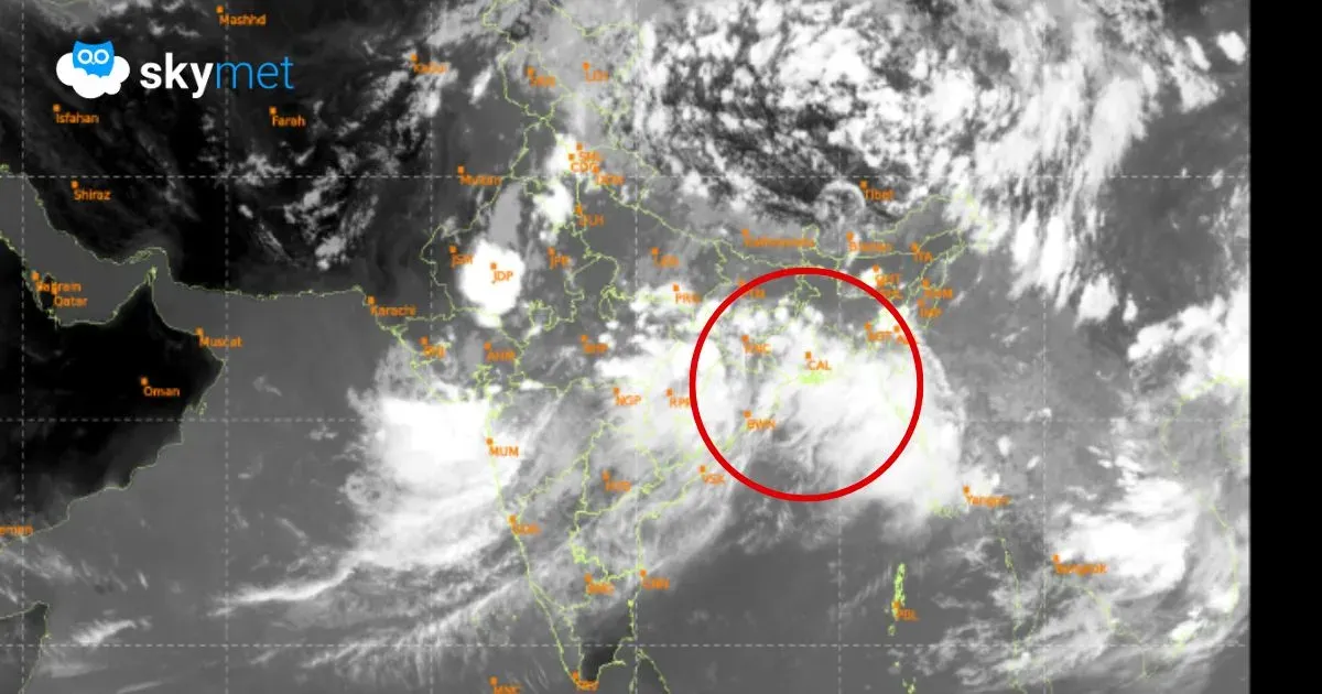
The low-pressure area from the Bay of Bengal moved inland and is now marked as a depression over Jharkhand and interior Odisha, centered very close to Ranchi. It is likely to move northwest and get positioned over East Madhya Pradesh first and later over Southwest Madhya Pradesh. These locations are favourable for accentuating monsoon currents over Konkan. Also, the north-south offshore trough is active from South Gujarat to Coastal Karnataka. The monsoon system over Madhya Pradesh will take about 2-3 days to weaken. Therefore, heavy to very heavy rainfall will continue over Mumbai for the next two days. The intensity may marginally reduce on 08th July and substantial improvement in weather conditions is likely from 09th July onwards.
Trending: