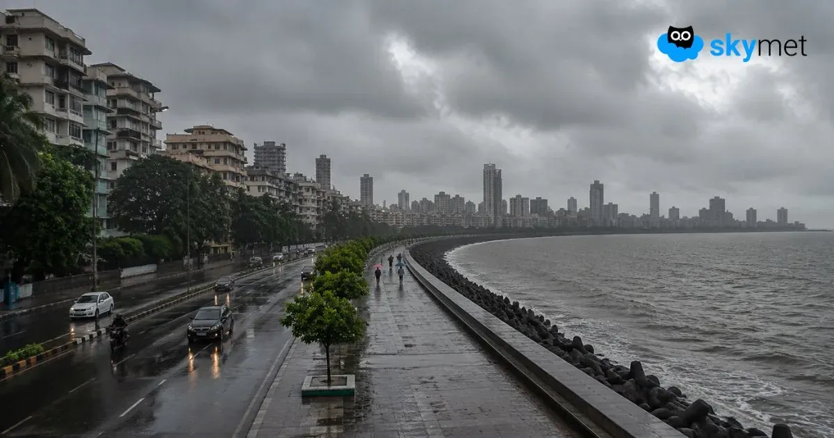
Heavy Rains In Delhi: NCR Gets Choked

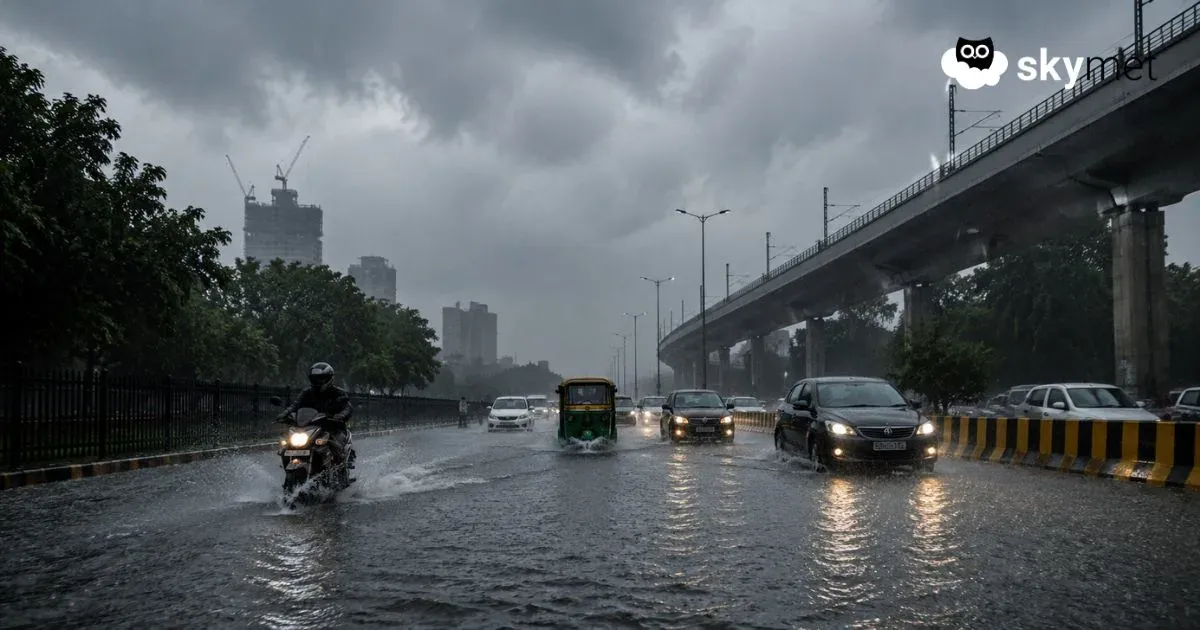
Representational Image: AI-Skymet
Key Takeaways:
- Heavy rainfall has continued across Delhi-NCR since yesterday afternoon, with Noida, Greater Noida, Ghaziabad, and adjoining areas receiving the heaviest spells.
- Waterlogging and traffic congestion have intensified, while flight delays remain possible despite a low likelihood of diversions.
- The ongoing weather is being driven by a weakening low-pressure area interacting with a western disturbance over North India.
- Rain and thunderstorms are expected to continue through today, with gradual improvement likely from July 12.
- Forecast Validity: Next 3 to 5 days.
Heavy rains have lashed Delhi-NCR, with some pockets witnessing more intense activity than others. The rains began yesterday afternoon and have been nearly non-stop since then. The eastern and northeastern peripheral areas of the city have been impacted more than the rest. Accordingly, Noida, Greater Noida, Ghaziabad, Bulandshahr, Meerut, and Aligarh have received the major share of the rainfall activity. The rains have also been fairly intense over the central and southern parts of Delhi. Base stations Safdarjung and Palam Airport recorded 72.6 mm and 63 mm of rainfall, respectively, in the 24 hours ending at 8:30 a.m. today. Lodhi Road recorded the highest rainfall at 80.2 mm, followed by Ridge with 78 mm during the same period. The rains are continuing across the entire region.
Incessant rainfall has caused waterlogging in many areas. This is likely to lead to localized flooding and the closure of some underpasses across NCR. Road and rail traffic have been affected, resulting in congestion and long traffic snarls. As the monsoon clouds are predominantly sheet-type and any embedded thunderstorm cells are likely to have sufficient gaps for aircraft to navigate, air operations are not expected to be impacted severely. Diversions to alternate airports are unlikely, though delays in arrivals and departures are possible due to the cascading effect of weather-related disruptions. Reduced visibility during heavy showers and strong gusty crosswinds may also restrict or delay landings and take-offs. Overall, flying conditions are expected to remain manageable. However, since the weather activity is likely to continue through the day, passengers are advised to check the latest flight status with their respective airlines.
The well-marked low-pressure area over northwest Madhya Pradesh has weakened further. It has moved northeast and is now positioned over the adjoining parts of north Madhya Pradesh, northeast Rajasthan, and the Delhi region. The east-west oriented monsoon trough, extending from Rajasthan to Gangetic West Bengal, is passing through this low-pressure area. The associated cyclonic circulation extends beyond the mid-tropospheric levels. Additionally, a western disturbance moving across the northern mountains as an upper-air trough is interacting with the low-pressure system, enhancing the weather activity and slowing the movement of the cloud mass.
An overcast sky is expected over Delhi and its neighbourhood throughout the day. Intermittent rain and thundershowers are likely, accompanied by moderately strong winds. The daytime temperature will remain significantly suppressed, with the maximum expected to hover around 27°C (±1°C), possibly the lowest of the season. Similar weather activity is expected to continue through the night. Thereafter, the circulation associated with the low-pressure area will shift towards the foothills of West Uttar Pradesh and Uttarakhand and is likely to dissipate over the region within the next 48 hours. The monsoon trough will also shift north of Delhi tomorrow and subsequently. Delhi will remain on the outer periphery of the active weather belt over Friday and Saturday. The remnant effect may still bring brief spells of rain in some areas. A broad clearance in weather conditions is likely from July 12 onwards.
Trending: