Low Pressure Intensifies Over Bay Of Bengal: Heavy Rainfall Over Odisha, West Bengal, Chhattisgarh, Bihar, Jharkhand

Key Takeaways:
- The well-marked low-pressure area may remain nearly stagnant over Odisha and West Bengal until July 22.
- Heavy rainfall will gradually spread from Odisha and Chhattisgarh to Bihar, Jharkhand, East Uttar Pradesh and East Madhya Pradesh.
- Rainfall deficits may reduce in parts of eastern and central India during the next week.
- Maharashtra, Gujarat, Rajasthan and the South Peninsula are likely to remain deficient in meaningful monsoon rainfall.
- Forecast Validity: Next 5 to 7 days.
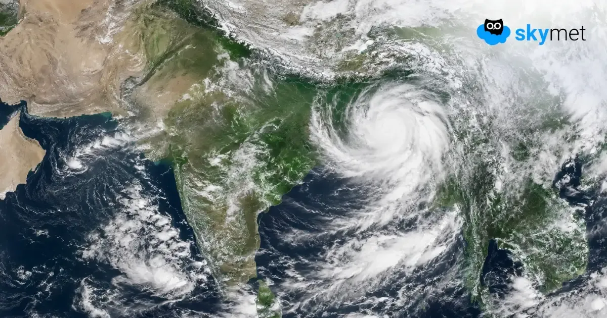
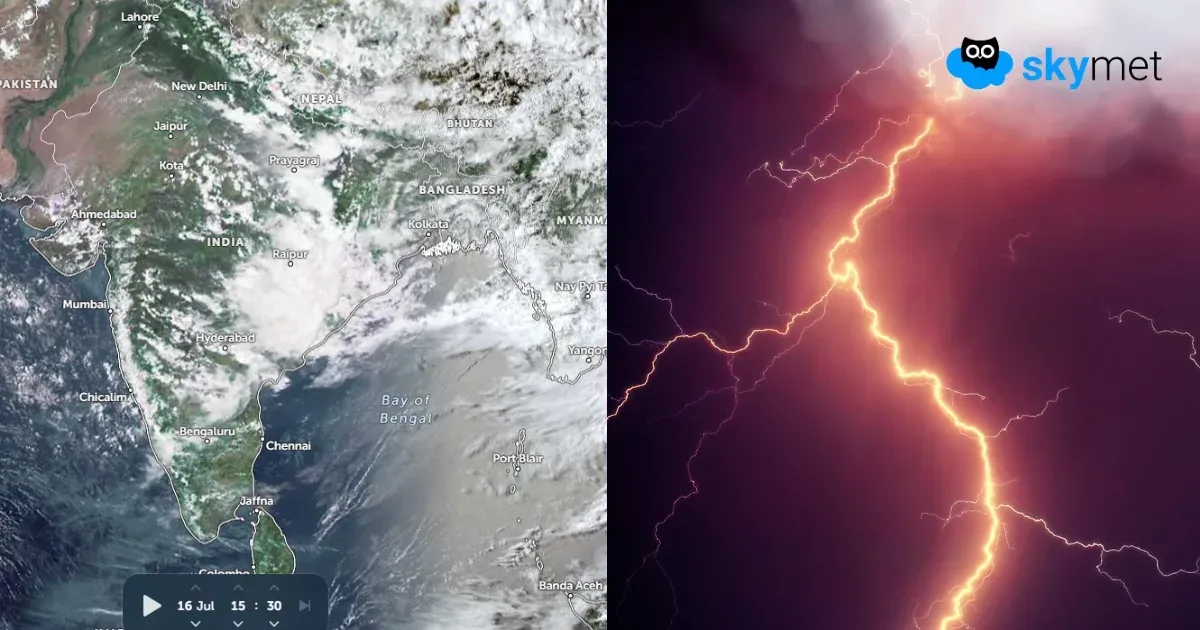
The low-pressure area over the Northwest Bay of Bengal and coastal parts of Odisha and West Bengal has become well marked. The supportive cyclonic circulation extends up to 25,000 feet, tilting southward with height. It is likely to move northwestward in the next 24 hours and get placed more over land than sea, covering parts of Odisha and West Bengal. The system will move very slowly and will practically meander over the same area for the next 3–4 days. Unfavourable features in the higher levels are blocking its movement, and it will literally remain stagnant till July 22. Thereafter, the system will move westward to track along the central parts, albeit on a weakening note.
The heavy rains will remain confined to Odisha and South Chhattisgarh, with a small spillover to the peripherals of East Madhya Pradesh, Vidarbha and Gangetic West Bengal on July 16 and 17, 2026. On July 18 and 19, the rains will extensively cover Bihar, Jharkhand and West Bengal. During the subsequent three days, between July 20 and 22, the rain-starved parts of East Uttar Pradesh and East Madhya Pradesh will also receive moderate to heavy rain and thundershowers. Further travel of the system to deep inland will extend the rain belt to more parts of Madhya Pradesh and Maharashtra.
There is a large rainfall deficit over Bihar, Jharkhand, East Uttar Pradesh, Chhattisgarh, Vidarbha and the entire Northeast India. Courtesy of the well-marked low-pressure area, all these parts will receive moderate to heavy rainfall, albeit in a staggered manner, during the next one week. The rain deficit will get covered partially and may come within the normal limits in some pockets.
However, at the same time, most other parts of the country will not receive any significant rainfall during this period. The core monsoon rainfed zone of Maharashtra, West Madhya Pradesh, Gujarat and Rajasthan will remain starved of decent monsoon showers. The rainfall distribution will be very poor over the South Peninsula for the next 10 days.
With inadequate rainfall during the last one week or so, the rain deficit, which had earlier dropped to just 14% by July 9, has mounted again to 24% as of today. The month of July was surplus by 50% rainfall during the first week. The excess rainfall has been consumed, and the rainiest monsoon month has slipped into a marginal rainfall deficit of 5%. It is expected to grow further.
The rainfall spread and intensity may become better in the last week of July.
Trending: