Last Spell Of February Rains Over Northern Plains: Warm - Windy Days Ahead
Key Takeaways:
- Western disturbance and cyclonic circulation brought widespread rain and thundershowers across North India.
- Rajasthan, Haryana, and Punjab saw the most notable rainfall during the last 48 hours.
- Rajasthan, Haryana, and Punjab saw the most notable rainfall during the last 48 hours.
- Next short rain spell shifts to Central–East India (Feb 22–23), not the northern plains.
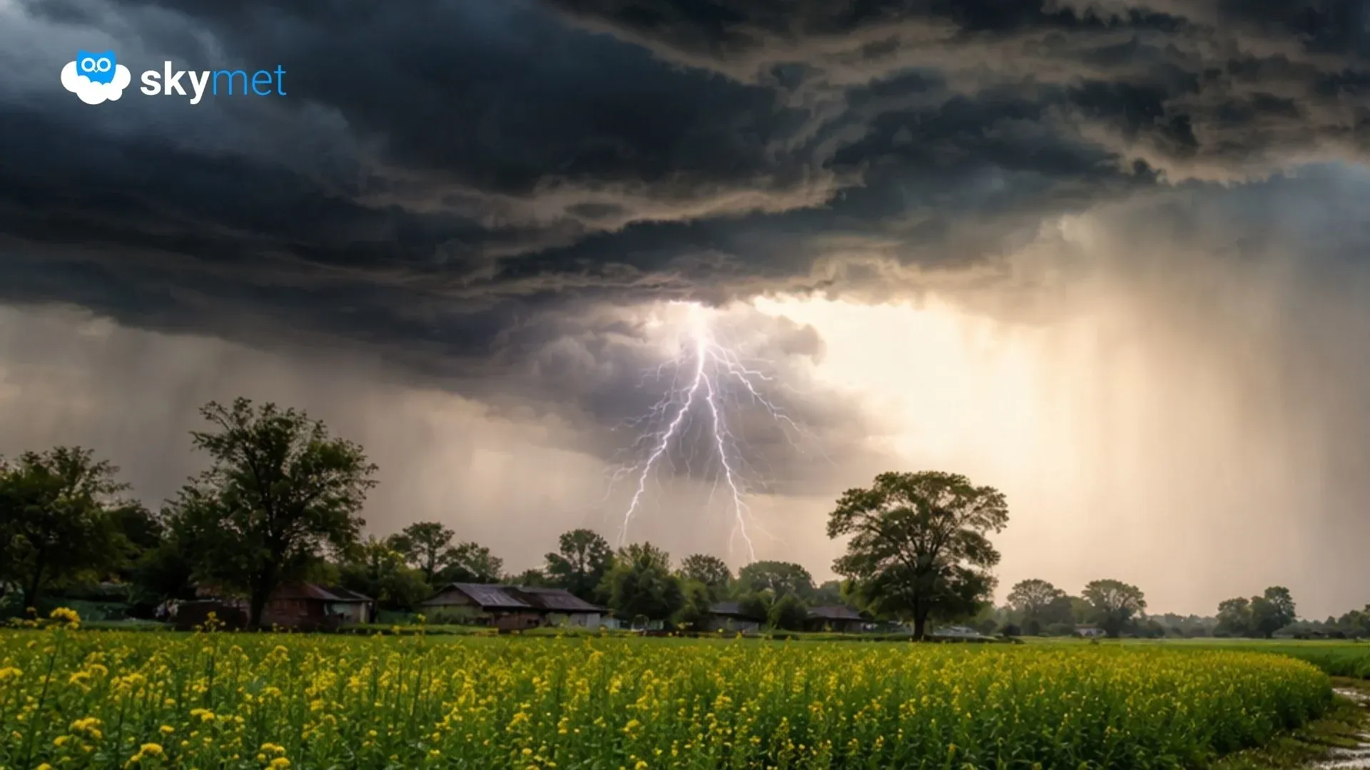
A western disturbance across the northern mountains and a cyclonic circulation over the plains together lashed the region with fairly widespread rain and thundershowers during the past 24 hours. The weather activity continued today as well. It is likely to cease from tomorrow onward and may remain silent for the rest of the days of the month.
Large parts of Rajasthan, many districts of Haryana, and a few pockets of Punjab received rain and thundershowers yesterday and today. Decent rain and thundershowers lashed Ganganagar, Pilani, Churu, Bikaner, Jaipur, Alwar, Ajmer, Kota, Ambala, Karnal, Hisar, Kaithal, Jind, Rohtak, Rewari, Ludhiana, and Patiala over the last 48 hours. This was the first and possibly the last wet spell of February covering vast areas of North India.
Cloud tops extended beyond 25,000 feet in some pockets and thereafter carried the risk of hailstorms at a few stations. Churu, Kishangarh, Rohtak, Jhajjar, and neighbouring areas were susceptible to hailstorm activity. Ground reports are still awaited.
The western disturbance will clear the region slightly earlier than the system over the plains. The rainy spell will persist over Delhi, southwest Uttar Pradesh, south Haryana, northeast Rajasthan, and northwest Madhya Pradesh today, and general clearance is expected from late night onward.
In the wake of the system, day temperatures may remain suppressed for a couple of days and rise thereafter. Night temperatures are unlikely to witness any sharp drop. The winter chill appears to be over in the plains of North India, with double-digit minimum temperatures expected to prevail across the region.
Surface and low-level winds are likely to strengthen as part of the transition toward the pre-monsoon season. Another short spell of weather activity is waiting in the wings; however, that event will mostly cover Odisha, Chhattisgarh, east Madhya Pradesh, Vidarbha, and north Madhya Maharashtra between 22 and 23 February 2026.


