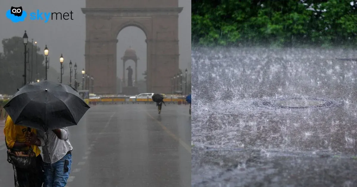
Thunderstorm-Dust Storm Likely Over Delhi Tonight: Dry Weather Rest Of Week


Key Takeaways:
- Pre-monsoon activity largely skipped Delhi, while nearby Haryana regions saw thunderstorms and dust-raising winds.
- Thunderstorm and dust storm activity may return to Delhi during late evening and night hours today.
- Temperatures will stay below normal today, with maximums around 38°C.
- Weekend weather is expected to turn hotter and more humid, with temperatures nearing 40°C.
Pre-monsoon weather activity skipped most parts of Delhi yesterday. Parts of Haryana on the southern periphery of Delhi, such as Rewari, Nuh and Palwal, received thunderstorms and dust-raising winds, but no significant rainfall was reported. Temperatures remained suppressed and were more or less the same as the previous day. Both the maximum temperature yesterday and the minimum temperature recorded this morning were below normal by around 2°C. Similar conditions are expected today as well, with no major spike in temperatures.
The western disturbance is marked over North Pakistan and Jammu & Kashmir. A cyclonic circulation lies over Punjab and North Rajasthan. An east-west trough extends from North Rajasthan to Uttar Pradesh, remaining in close proximity to Delhi. Weather activity in the form of thunderstorms and dust storms, accompanied by gusty winds, is likely during the late evening and night hours. The spillover effect may also be seen during the wee hours of tomorrow morning. Weather conditions are expected to improve as the day progresses. Dry weather is likely for the rest of the week, with no significant weather system expected.
There is no sharp rise expected in mercury levels. Today, the maximum temperature is likely to hover around 38°C (+/-1°C). The weekend is expected to remain hot, humid and scorching. The temperature may touch 40°C on Sunday and Monday. Surface winds will remain stronger than normal and may soften the heat factor slightly. Dry weather conditions are expected to continue until the middle of next week.