Monsoon Goes Awry: Rain Deficit Grows; Difficult To Catch Up

Key Takeaways:
- India's seasonal rainfall deficit has widened to 24% between 1 June and 16 July after briefly dropping to 14% earlier this month.
- Moderate to heavy rainfall is expected across eastern and central India between 17th and 24th July.
- A favourable shift in the Tibetan High is expected to revive monsoon activity over central and northern India after 24th July.
- The all-India rainfall deficit may reduce to around 10% by the end of July if the expected weather pattern materialises.
- Forecast Validity: 5 to 7 days.
The southwest monsoon made a slow and sluggish start during the opening month of June. The monsoon current remained stalled for a prolonged period along both sides of the coastline, delaying its arrival over Mumbai, Ahmedabad, Bhopal, Lucknow, Delhi, and many other cities. However, a weak monsoon stream managed to reach the last parts of Rajasthan just in time. Despite the timely coverage, June ended with a significant rainfall deficit of 40%.
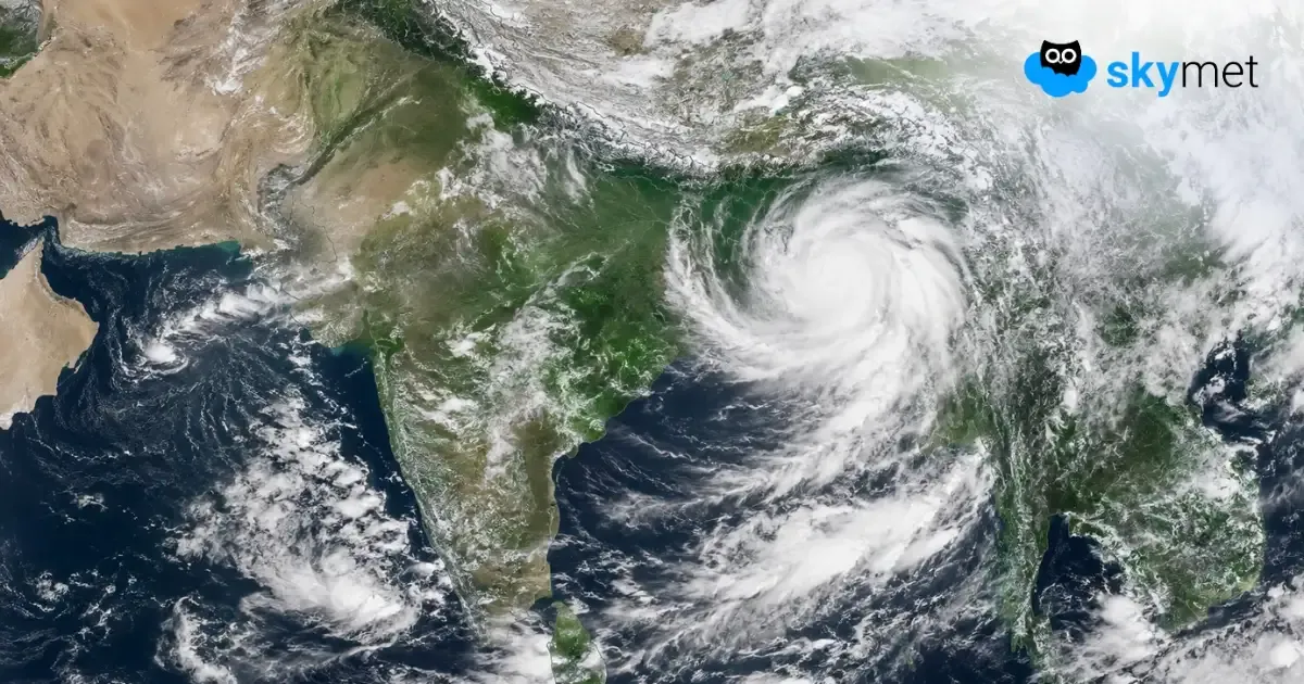
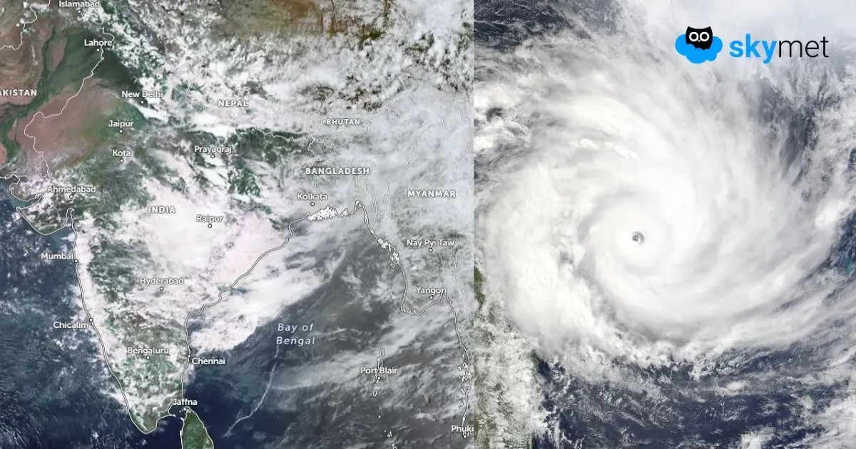
Courtesy of an active monsoon system that developed over the Bay of Bengal at the beginning of July, the core monsoon rain belt received widespread heavy rainfall. Consequently, the seasonal rainfall deficit dropped to 14% by 9th July 2026. However, as the weather system weakened, the seasonal deficit began increasing again from 10th July onward. Between 1st June and 16th July, the all-India rainfall shortfall widened to 24%, with all four homogeneous regions recording rainfall well below normal. The southwest monsoon has remained subdued since the first week of July and is still far from a sustained recovery. At present, it does not appear likely to regain momentum anytime soon.
The primary reason behind the stalled monsoon has been the lack of weather systems over the Indian seas. So far, only one active system developed over the Bay of Bengal. The second system, which intensified into a well-marked low-pressure area over the northwest Bay of Bengal and adjoining coastal parts of Odisha and West Bengal, has already moved inland and weakened into a low-pressure area. It is expected to weaken further over eastern India, covering parts of Chhattisgarh, Jharkhand, and Odisha.
The system has behaved differently from its normal climatological track and is expected to remain nearly stationary over the same region for about the next three days as a cyclonic circulation. The convergence zone associated with this circulation extends up to Vidarbha and East Madhya Pradesh. Along with these two subdivisions, moderate to heavy rainfall is expected over Bihar, Jharkhand, Odisha, Chhattisgarh, and East Uttar Pradesh in a staggered manner between 17th and 24th July 2026.
A blocking high-pressure cell currently exists in the upper levels of the atmosphere, above 30,000 feet, over Central Asia and parts of northern India and Pakistan. Under normal conditions, this anticyclone is positioned over the Tibetan region and is popularly known as the Tibetan High. Its normal position plays a crucial role in strengthening the southwest monsoon over the Indian subcontinent.
A deep upper-air trough is expected to push this high-pressure system eastwards towards its climatological position. This process is likely to begin around 23rd July, with the Tibetan High returning to its normal position by 24th–25th July 2026. Thereafter, the remnant circulation of the low-pressure area is also expected to move westwards. Consequently, the rainfall belt is likely to shift across Madhya Pradesh, Uttar Pradesh, Delhi, and East Rajasthan between 25th and 28th July.
The expansion of rainfall activity, coupled with an increase in rainfall intensity, may arrest any further rise in the seasonal rainfall deficit after 20th July 2026. There is also a possibility of a gradual recovery between 24th and 28th July, reducing the overall rainfall shortfall. Overall, July is expected to end with an all-India rainfall deficit of around 10%, with a margin of error of ±5%.
Trending: