Skymet Weather Forecast July 18: Rain Remains Active Over East & Northeast India

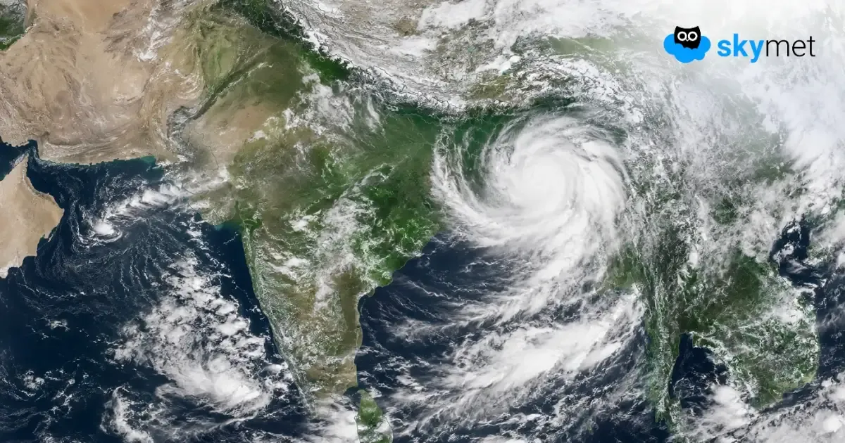
Representational Image: AI-Skymet
Key Takeaways:
- The low-pressure area over North Odisha has weakened but remains active with an associated cyclonic circulation.
- Moderate to heavy rain is likely over East Madhya Pradesh, Chhattisgarh, Odisha, Northeast India and Coastal Karnataka.
- Multiple cyclonic circulations continue to influence weather across north, central and eastern India.
- A fresh Western Disturbance is expected to affect Northwest India from 19th July.
- Forecast Validity: Next 24 hours.
The Weather Systems Over The Country
The well-marked low-pressure area over North Odisha and adjoining Jharkhand and Gangetic West Bengal weakened into a low-pressure area over the same region at 0530 IST on 17th July. The associated cyclonic circulation extends up to 7.6 km above mean sea level, tilting southwestwards with height.
The trough now extends from the cyclonic circulation associated with the low-pressure area to the East-Central Arabian Sea, passing through Chhattisgarh, Vidarbha, Madhya Maharashtra, and South Gujarat, between 5.8 km and 7.6 km above mean sea level.
The monsoon trough at mean sea level passes through Jammu, Bareilly, Basti, Daltonganj, the centre of the low-pressure area over North Odisha and adjoining Jharkhand and Gangetic West Bengal, and then extends southeastwards towards the Northeast Bay of Bengal.
A Western Disturbance persists as a cyclonic circulation over the Jammu Division and adjoining areas between 4.5 km and 5.8 km above mean sea level.
A cyclonic circulation is present over North Haryana and adjoining areas at 0.9 km above mean sea level.
Another cyclonic circulation lies over East Uttar Pradesh and adjoining Bihar, extending up to 1.5 km above mean sea level.
A cyclonic circulation is also present over Southwest Rajasthan and adjoining areas at 3.1 km above mean sea level.
A fresh Western Disturbance is likely to affect Northwest India from 19th July onward.
Weather Activities During The Last 24 Hours
During the last 24 hours, moderate to heavy rain occurred over Coastal Karnataka and the North Coast of Kerala.
Light to moderate rain with a few heavy spells occurred over South Odisha, Chhattisgarh, East Madhya Pradesh, Manipur, and the Jammu Division.
Light to moderate rain was recorded over Northeast India, Odisha, Jharkhand, East and Central Uttar Pradesh, parts of Bihar, Chhattisgarh, East Madhya Pradesh, Telangana, Konkan & Goa, Madhya Maharashtra, Coastal Andhra Pradesh, Gujarat, and Kerala.
Light rain occurred over Interior Karnataka and Rayalaseema.
Forecast
During the next 24 hours, light to moderate rain with a few heavy spells is likely over East Madhya Pradesh, Chhattisgarh, Odisha, Sub-Himalayan West Bengal, Sikkim, Assam, Arunachal Pradesh, Coastal Karnataka, and Telangana.
Light to moderate rain is likely over Northeast India, Bihar, Jharkhand, Gangetic West Bengal, Vidarbha, Konkan & Goa, and Kerala.
Light rain is possible over Gujarat, Uttarakhand, Rayalaseema, Andhra Pradesh, and Lakshadweep.
Trending: